Loading...
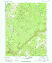
Loading map...1958 Map of Sandy Ridge
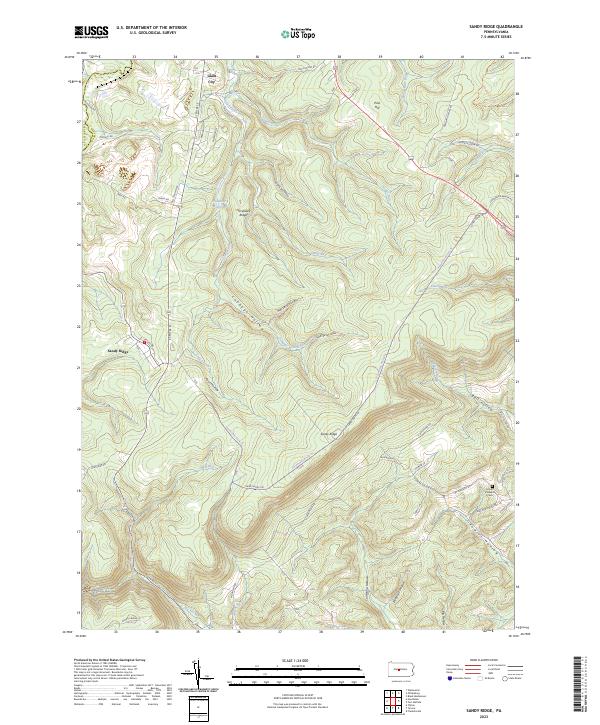
USGS Topo · Published 1972About this map
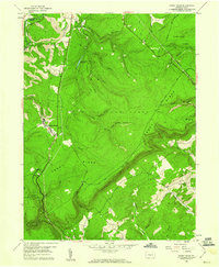
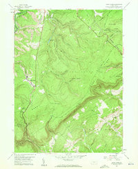
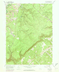
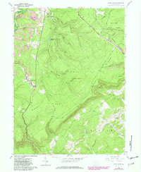
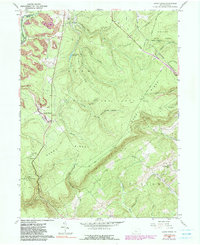
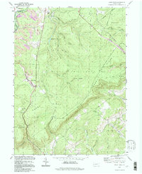
Industrial activity and conservation lands define this portion of the Allegheny Front at the Clearfield Co Centre Co boundary. The Penn Central railroad winds through the steep topography, serving the northern settlement of Glass City and the namesake village of Sandy Ridge. To the northwest, the landscape is heavily marked by several Strip Mine and Mine operations near Moshannon Creek, highlighting the region's coal heritage.
Find a feature on this map
45 named features on this map. Tap any name to fly to it.
Don’t see what you’re looking for? This feature index may not catch every label — zoom into the map to look around manually.
Map Details
Date Portrayed1958
Date Published1972
PublisherU.S. Geological Survey
Map TypeTopographic
Scale1:24,000
Physical Dimensions22 x 26.9 inches
Editions of this 1958 Sandy Ridge Map
6 editions found
Historical Maps of Rush Township Through Time
3 maps found
Featured Locations
Source Details
SourceU.S. Geological Survey
CopyrightPublic Domain