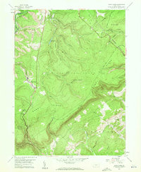
1958 Map of Sandy Ridge
USGS Topo · Published 1960About this map
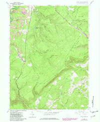
Sandy Ridge and the small settlement of Glass City occupy the high country along the border of Centre and Clearfield counties during the late 1950s. This landscape is defined by its extractive history and vast public lands, with several active Mines dotting the western slopes near the Pennsylvania rail line. The terrain is deeply incised by drainages like Cold Stream and Moshannon Creek, while the Philipsburg Reservoir sits tucked into the northern ridges.
Find a feature on this map
54 named features on this map. Tap any name to fly to it.
Don’t see what you’re looking for? This feature index may not catch every label — zoom into the map to look around manually.
Map Details
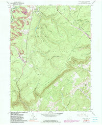
Editions of this 1958 Sandy Ridge Map
6 editions found
Other maps of this area

1903 · Houtzdale
USGS Topo · 1:62,500

1905 · Houtzdale
USGS Topo · 1:62,500

1920 · Altoona
USGS Topo · 1:62,500

1922 · Philipsburg
USGS Topo · 1:62,500

1922 · Altoona
USGS Topo · 1:62,500

1923 · Tyrone
USGS Topo · 1:62,500

1929 · Tyrone
USGS Topo · 1:48,000

1933 · Tyrone
USGS Topo · 1:62,500

1939 · Philipsburg
USGS Topo · 1:62,500

1944 · Houtzdale
USGS Topo · 1:24,000