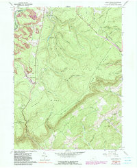
1958 Map of Sandy Ridge
USGS Topo · Published 1990About this map
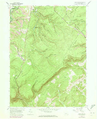
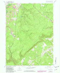
Sandy Ridge and Glass City sit along the dividing line of Clearfield and Centre Counties, nestled within a landscape shaped by early industrial activity and conservation efforts. The presence of multiple Mine locations and the Old Railroad Grade winding through the terrain points to the region's historical reliance on extraction and rail transport, while the Conrail line continues to serve the northern reaches near Moshannon Creek. High ridges such as Sandy Ridge and Horseback Ridge dominate the topography, separated by numerous hollows like Cabbage Hollow and Seven Springs Hollow. Large tracts of protected land, including Moshannon State Forest and State Game Lands No 33, cover significant portions of the quadrangle, preserving the steep drainages of Cold Stream and Hawk Run. The remote Mt Pleasant Ch and its associated Cem provide a touchstone for local genealogical research in this sparsely populated highland.
Find a feature on this map
45 named features on this map. Tap any name to fly to it.
Don’t see what you’re looking for? This feature index may not catch every label — zoom into the map to look around manually.
Map Details
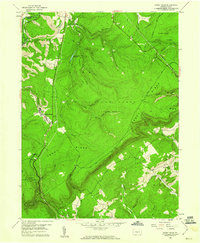
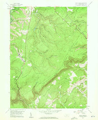
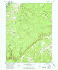
Editions of this 1958 Sandy Ridge Map
6 editions found
Other maps of this area

1903 · Houtzdale
USGS Topo · 1:62,500

1905 · Houtzdale
USGS Topo · 1:62,500

1920 · Altoona
USGS Topo · 1:62,500

1922 · Philipsburg
USGS Topo · 1:62,500

1922 · Altoona
USGS Topo · 1:62,500

1923 · Tyrone
USGS Topo · 1:62,500

1929 · Tyrone
USGS Topo · 1:48,000

1933 · Tyrone
USGS Topo · 1:62,500

1939 · Philipsburg
USGS Topo · 1:62,500

1944 · Houtzdale
USGS Topo · 1:24,000