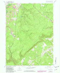
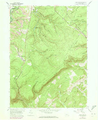
1958 Map of Sandy Ridge
USGS Topo · Published 1982About this map
Sandy Ridge serves as the primary settlement on this ridge-and-valley map, situated near the boundary between Decatur and Rush townships. The landscape is defined by extensive public lands, including the Moshannon State Forest and multiple state game lands, which preserve the high ground of Sandy Ridge itself. Resource extraction and transport legacy are evident in the numerous mines clustered near Glass City and the presence of an Old Railroad Grade that winds through the southern terrain toward Summit.
Find a feature on this map
42 named features on this map. Tap any name to fly to it.
Don’t see what you’re looking for? This feature index may not catch every label — zoom into the map to look around manually.
Map Details
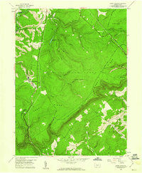
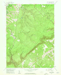
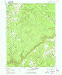
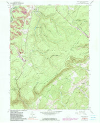
Editions of this 1958 Sandy Ridge Map
6 editions found
Other maps of this area

1903 · Houtzdale
USGS Topo · 1:62,500

1905 · Houtzdale
USGS Topo · 1:62,500

1920 · Altoona
USGS Topo · 1:62,500

1922 · Philipsburg
USGS Topo · 1:62,500

1922 · Altoona
USGS Topo · 1:62,500

1923 · Tyrone
USGS Topo · 1:62,500

1929 · Tyrone
USGS Topo · 1:48,000

1933 · Tyrone
USGS Topo · 1:62,500

1939 · Philipsburg
USGS Topo · 1:62,500

1944 · Houtzdale
USGS Topo · 1:24,000