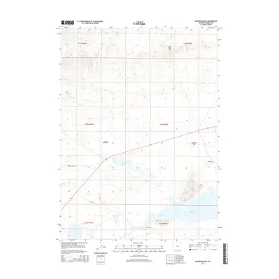
2015 Map of Sanford Ranch
USGS Topo · Published 2015About this map
Sanford Ranch serves as a primary marker of human activity within this high-elevation landscape of Natrona County. The terrain is defined by a series of significant water bodies and drainages, most notably the northern reaches of the Pathfinder Reservoir and the Sweetwater River. These water sources are complemented by smaller seasonal features like Piaya Lake and Steamboat Lake, which contrast with the arid character of Dry Cr and the winding course of Horse Cr.
Find a feature on this map
18 named features on this map. Tap any name to fly to it.
Don’t see what you’re looking for? This feature index may not catch every label — zoom into the map to look around manually.
Map Details
Editions of this 2015 Sanford Ranch Map
This is the sole edition of this map. No revisions or reprints were ever made.
Other maps of this area

1951 · Benton Basin SW
USGS Topo · 1:24,000

1951 · Pathfinder Reservoir NW
USGS Topo · 1:24,000

1951 · Independence Rock
USGS Topo · 1:24,000

1951 · Mc Cleary Reservoir
USGS Topo · 1:24,000

1951 · Fort Ridge
USGS Topo · 1:24,000

1955 · Casper
USGS Topo · 1:250,000

1958 · Casper
USGS Topo · 1:250,000

1959 · Horse Creek Springs
USGS Topo · 1:24,000

1959 · Sanford Ranch
USGS Topo · 1:24,000

1959 · Saddle Rock
USGS Topo · 1:24,000