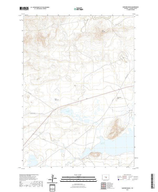
2021 Map of Sanford Ranch
USGS Topo · Published 2021About this map
Sanford Ranch and the northern reaches of the Pathfinder Reservoir define this high-altitude landscape in the rugged transition between the Granite Mountains and the plains of central Wyoming. The map documents a sparsely populated ranching territory where water management is critical, as seen in the presence of Steamboat Lake and Piaya Lake. Historically significant routes traverse the area, most notably Emigrant Trail Rd, which runs along the eastern edge of the quadrangle.
Find a feature on this map
20 named features on this map. Tap any name to fly to it.
Don’t see what you’re looking for? This feature index may not catch every label — zoom into the map to look around manually.
Map Details
Editions of this 2021 Sanford Ranch Map
This is the sole edition of this map. No revisions or reprints were ever made.
Other maps of this area

1951 · Benton Basin SW
USGS Topo · 1:24,000

1951 · Pathfinder Reservoir NW
USGS Topo · 1:24,000

1951 · Independence Rock
USGS Topo · 1:24,000

1951 · Mc Cleary Reservoir
USGS Topo · 1:24,000

1951 · Fort Ridge
USGS Topo · 1:24,000

1955 · Casper
USGS Topo · 1:250,000

1958 · Casper
USGS Topo · 1:250,000

1959 · Horse Creek Springs
USGS Topo · 1:24,000

1959 · Sanford Ranch
USGS Topo · 1:24,000

1959 · Saddle Rock
USGS Topo · 1:24,000