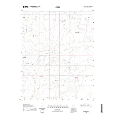
2020 Map of Sanostee East
USGS Topo · Published 2020About this map
Sanostee and Tocito anchor this high-desert landscape in the San Juan County region of New Mexico, situated within a topography defined by significant sandstone formations and seasonal watercourses. The settlement of Sanostee is located near the mouth of Porcupine Canyon, while the small community of Tocito sits further south along the Tocito Wash. Transportation and infrastructure are central to the area's layout, featuring the Sanostee Airport and an extensive network of Bureau of Indian Affairs routes including Indian Svc Rte 34 and Indian Svc Rte 56. Large-scale terrain features like Rock Ridge and the prominent Rock Mesa dictate the movement of drainage through Sanostee Wash and Pajarito Cr. This contemporary survey illustrates the persistent importance of local water sources like 2M-39 Spring in an arid environment where ranching and local travel depend on the seasonal flow of the washes.
Find a feature on this map
22 named features on this map. Tap any name to fly to it.
Don’t see what you’re looking for? This feature index may not catch every label — zoom into the map to look around manually.
Map Details
Editions of this 2020 Sanostee East Map
This is the sole edition of this map. No revisions or reprints were ever made.
Other maps of this area

1889 · Chaco
USGS Topo · 1:250,000

1892 · Chaco
USGS Topo · 1:250,000

1927 · Sulphur Spring
USGS Topo · 1:96,000

1928 · Kirtland
USGS Topo · 1:125,000

1932 · Kirtland
USGS Topo · 1:125,000

1934 · Ship Rock
USGS Topo · 1:62,500

1937 · Ship Rock
USGS Topo · 1:62,500

1953 · Sanostee
USGS Topo · 1:62,500

1954 · Shiprock
USGS Topo · 1:250,000

1958 · Shiprock
USGS Topo · 1:250,000