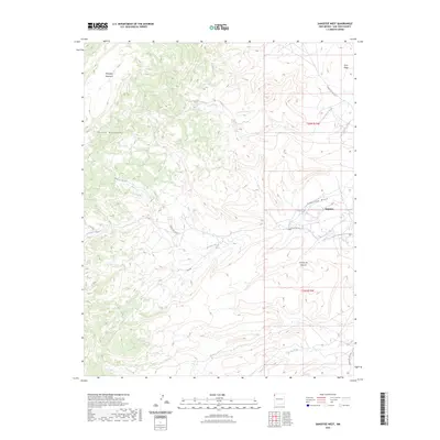
2023 Map of Sanostee West
USGS Topo · Published 2023About this map
The Chuska Mountains define the high-elevation western reaches of this area, where peaks like Beautiful Mountain tower over the high desert. Below these heights, the landscape is etched by seasonal watercourses including Sanostee Wash, Tocito Wash, and Tse-clani-to Wash, which carve paths toward the lower eastern plains. The settlement of Sanostee sits at the edge of this complex drainage network, serving as a focal point for the region's limited road infrastructure.
Find a feature on this map
15 named features on this map. Tap any name to fly to it.
Don’t see what you’re looking for? This feature index may not catch every label — zoom into the map to look around manually.
Map Details
Editions of this 2023 Sanostee West Map
This is the sole edition of this map. No revisions or reprints were ever made.
Other maps of this area

1889 · Chaco
USGS Topo · 1:250,000

1892 · Chaco
USGS Topo · 1:250,000

1892 · Canyon De Chelly
USGS Topo · 1:250,000

1934 · Ship Rock
USGS Topo · 1:62,500

1937 · Ship Rock
USGS Topo · 1:62,500

1953 · Sanostee
USGS Topo · 1:62,500

1953 · Redrock Valley SE
USGS Topo · 1:24,000

1953 · Redrock Valley
USGS Topo · 1:62,500

1954 · Shiprock
USGS Topo · 1:250,000

1955 · Sonsala Butte 1 SE
USGS Topo · 1:24,000