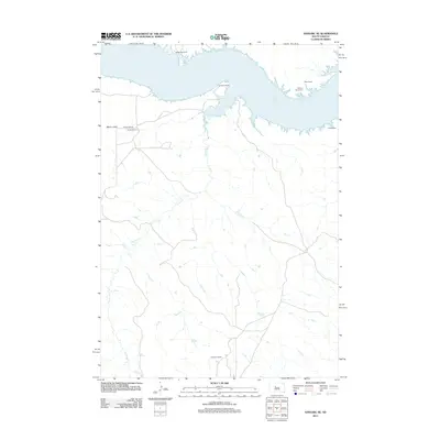
2012 Map of Sansarc NE
USGS Topo · Published 2012About this map
Lake Oahe dominates the northern horizon of this central South Dakota landscape, defining the character of the Missouri River country in the early twenty-first century. The map details a ranching-focused interior where isolated operations like Vanderveer Ranch, West Ranch, and Schiesser Ranch are connected by a network of drainage systems, most notably the meandering Foster Cr. The terrain shifts from the level expanses of Marion Flats near Foster Bay Rd to the intricate, eroded fingers of the shoreline. Small family or community burial sites, including Walking Horse Cem and Lindsay Cem, provide important genealogical markers in this sparsely populated region, anchoring the local history to specific landholdings and family names such as the Young Ranch.
Find a feature on this map
11 named features on this map. Tap any name to fly to it.
Don’t see what you’re looking for? This feature index may not catch every label — zoom into the map to look around manually.
Map Details
Editions of this 2012 Sansarc NE Map
This is the sole edition of this map. No revisions or reprints were ever made.
Other maps of this area

1954 · Pierre
USGS Topo · 1:250,000

1956 · Alleman Station
USGS Topo · 1:24,000

1956 · Rousseau Creek SW
USGS Topo · 1:24,000

1956 · Herbert Creek SE
USGS Topo · 1:24,000

1956 · Sansarc NE
USGS Topo · 1:24,000

1956 · Crockett Mountains
USGS Topo · 1:24,000

1958 · Pierre
USGS Topo · 1:250,000

1981 · Herbert Creek SW
USGS Topo · 1:24,000

1982 · Sansarc
USGS Topo · 1:24,000

1982 · Whiteman Ranch
USGS Topo · 1:24,000