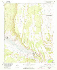
1954 Map of Santa Ana Pueblo
USGS Topo · Published 1978About this map
Santa Ana Pueblo sits at the heart of this landscape, positioned along the northern bank of the Jemez River. The map illustrates a complex intersection of land tenure systems, showing the Santa Ana Pueblo Grant, the San Felipe Indian Reservation (Santa Rosa De Cubero Grant), and the Angostura Grant. This era reflects significant mid-century water management infrastructure, most notably the Jemez Canyon Dam with its associated Spillway and Stilling Basin.
Find a feature on this map
20 named features on this map. Tap any name to fly to it.
Don’t see what you’re looking for? This feature index may not catch every label — zoom into the map to look around manually.
Map Details
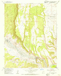
Editions of this 1954 Santa Ana Pueblo Map
2 editions found
Other maps of this area

1888 · Bernalillo
USGS Topo · 1:125,000

1889 · Albuquerque
USGS Topo · 1:125,000

1890 · Jemes
USGS Topo · 1:125,000

1892 · San Pedro
USGS Topo · 1:125,000

1892 · Jemes
USGS Topo · 1:125,000

1892 · Santa Clara
USGS Topo · 1:125,000

1893 · Albuquerque
USGS Topo · 1:125,000

1943 · Jemez
USGS Topo · 1:62,500

1952 · Jemez
USGS Topo · 1:62,500

1953 · Santo Domingo Pueblo SW
USGS Topo · 1:24,000