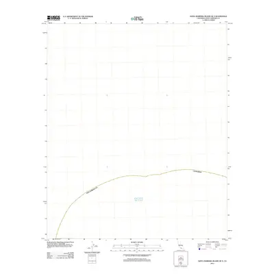
2012 Map of Santa Barbara Island OE N
USGS Topo · Published 2012About this map
The Pacific Ocean occupies this entire maritime quadrangle off the coast of Southern California. Published by the U.S. Geological Survey in 2012, this sheet serves as a navigational and hydrographic reference for the open waters of Santa Barbara County. Unlike typical topographic maps that document landforms, settlements, and infrastructure, this specific area consists of the marine environment surrounding the Northern Channel Islands. The lack of terrestrial features highlights the oceanic character of the region, where the focus remains on the vast maritime expanse rather than the rugged island terrain found on adjacent sheets. This map provides a clear record of the coordinate systems and maritime boundaries defined in the early 21st century.
Find a feature on this map
1 named feature on this map. Tap any name to fly to it.
Don’t see what you’re looking for? This feature index may not catch every label — zoom into the map to look around manually.
Map Details
Editions of this 2012 Santa Barbara Island OE N Map
This is the sole edition of this map. No revisions or reprints were ever made.
Other maps of this area

1949 · Long Beach
USGS Topo · 1:250,000

1957 · Long Beach
USGS Topo · 1:250,000

1958 · Long Beach
USGS Topo · 1:250,000

1960 · Long Beach
USGS Topo · 1:250,000
1981 · Santa Catalina Island
USGS Topo · 1:100,000
1981 · Long Beach
USGS Topo · 1:100,000
1984 · Laguna Harbor
USGS Topo · 1:100,000
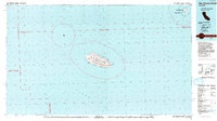
1993 · San Nicolas Island
USGS Topo · 1:100,000
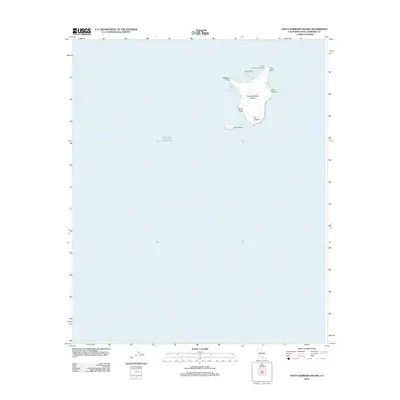
2012 · Santa Barbara Island
USGS Topo · 1:24,000
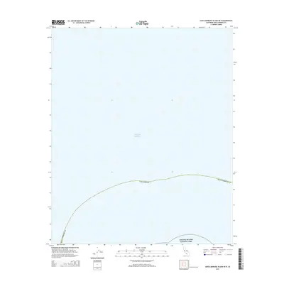
2015 · Santa Barbara Island OE N
USGS Topo · 1:24,000