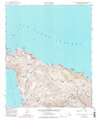
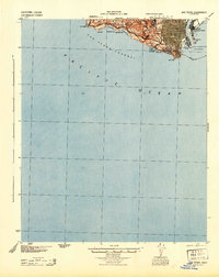
1943 Map of Santa Catalina North
USGS Topo · Published 1988About this map
Isthmus sits at the narrow center of the island, separating the San Pedro Channel from the Pacific Ocean in this mid-century topographic record. The landscape is defined by its dramatic relief and a complex system of water management essential for island life, including Buffalo Springs Reservoirs, Deep Tank Reservoir, and Echo Lake. High peaks like Mt Orizaba and Black Jack Mtn overlook a series of canyons and remote landings, while the Catalina Airfield indicates the growing connectivity of the region by the 1940s.
Find a feature on this map
36 named features on this map. Tap any name to fly to it.
Don’t see what you’re looking for? This feature index may not catch every label — zoom into the map to look around manually.
Map Details
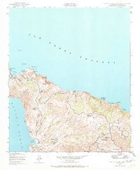
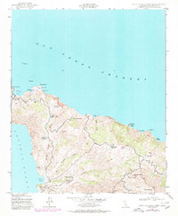
Editions of this 1943 Santa Catalina North Map
4 editions found
Other maps of this area

1896 · San Pedro
USGS Topo · 1:62,500

1901 · Southern California Sheet No. 1
USGS Topo · 1:250,000

1904 · Southern California Sheet No. 1
USGS Topo · 1:250,000

1943 · San Pedro
USGS Topo · 1:125,000

1943 · Santa Catalina North
USGS Topo · 1:24,000

1943 · Santa Catalina East
USGS Topo · 1:24,000

1943 · Santa Catalina South
USGS Topo · 1:24,000
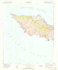
1943 · Santa Catalina West
USGS Topo · 1:24,000
1944 · San Pedro
USGS Topo · 1:62,500

1949 · Long Beach
USGS Topo · 1:250,000