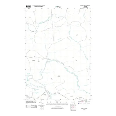
2010 Map of Santa Clara
USGS Topo · Published 2010About this map
Santa Clara sits at the confluence of the Saint Regis River and Alder Brook, serving as a focal point in this portion of Franklin County. The landscape is defined by the winding paths of the East Branch Saint Regis River and the Deer River, which cut through a series of named elevations and ridges. In the northern reaches, the small settlement of Reynoldston is positioned near the Little Salmon River, while the central terrain is marked by prominent features like Mutton Ridge and The Pinnacle.
Find a feature on this map
47 named features on this map. Tap any name to fly to it.
Don’t see what you’re looking for? This feature index may not catch every label — zoom into the map to look around manually.
Map Details
Editions of this 2010 Santa Clara Map
This is the sole edition of this map. No revisions or reprints were ever made.
Other maps of this area

1915 · Malone
USGS Topo · 1:62,500

1915 · Moira
USGS Topo · 1:62,500

1917 · Malone
USGS Topo · 1:62,500

1917 · Moira
USGS Topo · 1:62,500

1919 · Nicholville
USGS Topo · 1:62,500

1921 · Nicholville
USGS Topo · 1:62,500

1921 · Santa Clara
USGS Topo · 1:62,500

1923 · Santa Clara
USGS Topo · 1:62,500

1944 · Moira
USGS Topo · 1:62,500

1948 · Ogdensburg
USGS Topo · 1:250,000