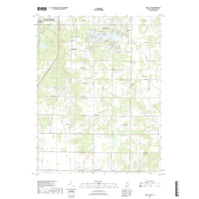
2019 Map of Santa Claus
USGS Topo · Published 2019About this map
The Lincoln Boyhood National Memorial anchors the northwestern corner of this Spencer County landscape, preserving the site where Abraham Lincoln spent his formative years. This 2019 survey illustrates the unique thematic development of Santa Claus, where residential streets bear names like Rudolph Lane and Prancer Drive, radiating around Christmas Lake and Noel Lake. The map reveals a transition from these developed leisure and commemorative spaces to the traditional agricultural grid of southern Indiana.
Find a feature on this map
90 named features on this map. Tap any name to fly to it.
Don’t see what you’re looking for? This feature index may not catch every label — zoom into the map to look around manually.
Map Details
Editions of this 2019 Santa Claus Map
This is the sole edition of this map. No revisions or reprints were ever made.
Other maps of this area

1900 · St Meinrad
USGS Topo · 1:62,500

1900 · De Gonia Springs
USGS Topo · 1:62,500

1901 · Owensboro
USGS Topo · 1:62,500

1902 · Ditney
USGS Topo · 1:125,000

1902 · Degonia Springs
USGS Topo · 1:62,500

1903 · St. Meinrad
USGS Topo · 1:62,500

1903 · Tell City
USGS Topo · 1:62,500

1952 · Rockport
USGS Topo · 1:24,000

1953 · Lewisport
USGS Topo · 1:24,000

1953 · Tell City
USGS Topo · 1:24,000