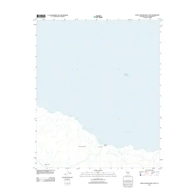
2012 Map of Santa Cruz Island C OE N
USGS Topo · Published 2012About this map
Santa Cruz Island reveals its northern shoreline and rugged interior drainages in this 2012 survey. The geography is defined by a series of small coastal inlets, including Platts Harbor, Twin Harbors, and Tinkers Harbor, which have served as critical landing points for maritime navigation through the Santa Barbara Channel for centuries. Inland, the map follows the eastern extent of the Central Valley, a major tectonic and topographic feature that bisects the island.
Find a feature on this map
10 named features on this map. Tap any name to fly to it.
Don’t see what you’re looking for? This feature index may not catch every label — zoom into the map to look around manually.
Map Details
Editions of this 2012 Santa Cruz Island C OE N Map
This is the sole edition of this map. No revisions or reprints were ever made.
Other maps of this area
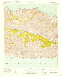
1943 · Santa Cruz Island B
USGS Topo · 1:24,000
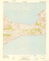
1943 · Santa Cruz Island C
USGS Topo · 1:24,000

1949 · Los Angeles
USGS Topo · 1:250,000

1949 · Long Beach
USGS Topo · 1:250,000

1955 · Los Angeles
USGS Topo · 1:250,000

1957 · Long Beach
USGS Topo · 1:250,000

1958 · Long Beach
USGS Topo · 1:250,000

1959 · Los Angeles
USGS Topo · 1:250,000

1960 · Long Beach
USGS Topo · 1:250,000

1966 · Los Angeles
USGS Topo · 1:250,000