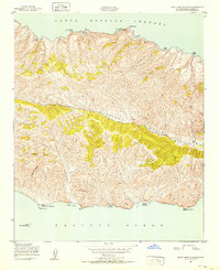
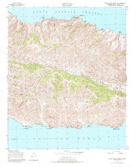
1943 Map of Santa Cruz Island B
USGS Topo · Published 1952About this map
Central Valley bisects this portion of the island, creating a distinct topographic rift between the northern ridges and southern peaks. Mapped during the second World War, the sheet captures the remote character of the landscape where human presence is centered at Stanton Ranch in the east. The terrain is defined by dramatic coastal features, from the sheltered waters of Lady's Harbor and Diablo Anchorage on the Santa Barbara Channel to the southern bluffs near Punta Arena.
Find a feature on this map
26 named features on this map. Tap any name to fly to it.
Don’t see what you’re looking for? This feature index may not catch every label — zoom into the map to look around manually.
Map Details
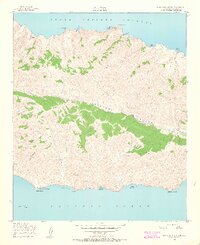
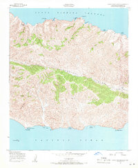
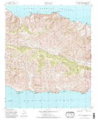
Editions of this 1943 Santa Cruz Island B Map
5 editions found
Other maps of this area
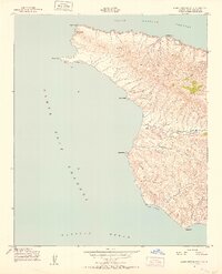
1943 · Santa Cruz Island A
USGS Topo · 1:24,000
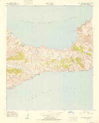
1943 · Santa Cruz Island C
USGS Topo · 1:24,000

1949 · Los Angeles
USGS Topo · 1:250,000

1949 · Long Beach
USGS Topo · 1:250,000

1955 · Los Angeles
USGS Topo · 1:250,000

1957 · Long Beach
USGS Topo · 1:250,000

1958 · Long Beach
USGS Topo · 1:250,000

1959 · Los Angeles
USGS Topo · 1:250,000

1960 · Long Beach
USGS Topo · 1:250,000

1966 · Los Angeles
USGS Topo · 1:250,000