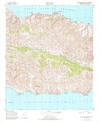
1943 Map of Santa Cruz Island B
USGS Topo · Published 1984About this map
The Central Valley forms a deep, east-west tectonic furrow through the heart of the island, a topographic feature that has historically anchored local ranching operations. In this mid-century period, Stanton Ranch stands as the primary outpost of human activity, situated at the eastern end of the valley where terrain levels out. The island's northern shore, facing the Santa Barbara Channel, is deeply notched with maritime havens such as Ladys Harbor and Diablo Anchorage, while the southern coast meets the Pacific Ocean at more exposed points like Punta Arena and the Laguna Canyon drainage. High elevation landmarks like Davis Peak and the white limestone of Sierra Blanca provide significant navigational aids for both land travelers and coastal sailors navigating the waters near Gull Island.
Find a feature on this map
25 named features on this map. Tap any name to fly to it.
Don’t see what you’re looking for? This feature index may not catch every label — zoom into the map to look around manually.
Map Details
Editions of this 1943 Santa Cruz Island B Map
5 editions found
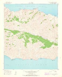
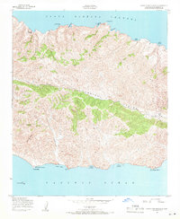
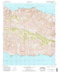
Other maps of this area
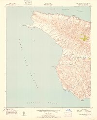
1943 · Santa Cruz Island A
USGS Topo · 1:24,000
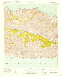
1943 · Santa Cruz Island B
USGS Topo · 1:24,000
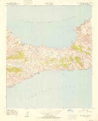
1943 · Santa Cruz Island C
USGS Topo · 1:24,000

1949 · Los Angeles
USGS Topo · 1:250,000

1949 · Long Beach
USGS Topo · 1:250,000

1955 · Los Angeles
USGS Topo · 1:250,000

1957 · Long Beach
USGS Topo · 1:250,000

1958 · Long Beach
USGS Topo · 1:250,000

1959 · Los Angeles
USGS Topo · 1:250,000

1960 · Long Beach
USGS Topo · 1:250,000