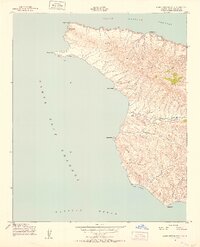
1943 Map of Santa Cruz Island A
USGS Topo · Published 1952About this map
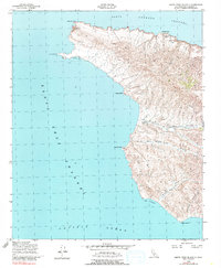
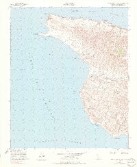
Christi Ranch anchors the western interior of Santa Cruz Island, serving as a rare point of human habitation in a landscape defined by deep drainage systems like Cañada De Los Sauces and Cañada Cervada. This 1943 survey, conducted for the Army Map Service, details the maritime hazards and coastal features including Painted Cave and Posa Anchorage along the southern shore. The map illustrates a period when the island's topography was precisely measured for navigation and defense, featuring the Santa Cruz West Latitude Station and an Azimuth Mark near the northern cliffs. The coastal perimeter is marked by prominent landforms such as Fraser Point and Morse Point, providing a record of the island's shoreline and inland canyons like Johnston Canyon before modern conservation eras changed the management of the terrain.
Find a feature on this map
20 named features on this map. Tap any name to fly to it.
Don’t see what you’re looking for? This feature index may not catch every label — zoom into the map to look around manually.
Map Details
Editions of this 1943 Santa Cruz Island A Map
6 editions found
Other maps of this area
1943 · Santa Rosa Island East
USGS Topo · 1:24,000
1943 · Santa Cruz Island B
USGS Topo · 1:24,000

1949 · Los Angeles
USGS Topo · 1:250,000

1949 · Long Beach
USGS Topo · 1:250,000

1955 · Los Angeles
USGS Topo · 1:250,000

1957 · Long Beach
USGS Topo · 1:250,000

1958 · Long Beach
USGS Topo · 1:250,000

1959 · Los Angeles
USGS Topo · 1:250,000

1960 · Long Beach
USGS Topo · 1:250,000

1966 · Los Angeles
USGS Topo · 1:250,000