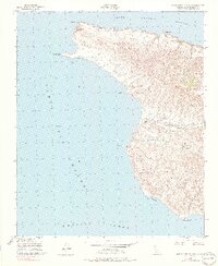
1943 Map of Santa Cruz Island A
USGS Topo · Published 1990About this map
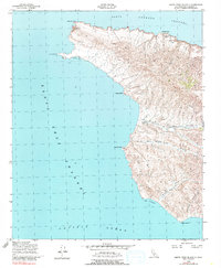
The western reaches of Santa Cruz Island are defined by a complex network of coastal canyons and steep ridges, mapped here during the early 1940s. The interior landscape is dominated by deep seasonal drainage paths such as Cañada De Los Sauces and Cañada Cervada, which converge toward the rocky shoreline. Christi Ranch serves as a lone human outpost in this coastal wilderness, illustrating the island's history of isolated ranching operations. Along the northern coast, the Santa Barbara Channel meets the shore at notable landmarks like Painted Cave and Profile Point. The presence of the Santa Cruz West Latitude Station near West Point highlights the island's importance for maritime navigation and geodetic surveying. Maritime activity is further evidenced by protected waters at Forney Cove and the Posa Anchorage, providing shelter from the surrounding Pacific Ocean.
Find a feature on this map
18 named features on this map. Tap any name to fly to it.
Don’t see what you’re looking for? This feature index may not catch every label — zoom into the map to look around manually.
Map Details
Editions of this 1943 Santa Cruz Island A Map
6 editions found
Other maps of this area
1943 · Santa Rosa Island East
USGS Topo · 1:24,000
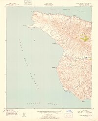
1943 · Santa Cruz Island A
USGS Topo · 1:24,000
1943 · Santa Cruz Island B
USGS Topo · 1:24,000

1949 · Los Angeles
USGS Topo · 1:250,000

1949 · Long Beach
USGS Topo · 1:250,000

1955 · Los Angeles
USGS Topo · 1:250,000

1957 · Long Beach
USGS Topo · 1:250,000

1958 · Long Beach
USGS Topo · 1:250,000

1959 · Los Angeles
USGS Topo · 1:250,000

1960 · Long Beach
USGS Topo · 1:250,000