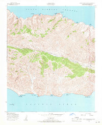
1943 Map of Santa Cruz Island B
USGS Topo · Published 1971About this map
Stanton Ranch sits as the primary human footprint in this mid-century aerial survey of Santa Cruz Island, situated at the eastern edge of the prominent Central Valley. The map, based on 1943 photography by Fairchild Aerial Surveys, reveals an island defined by its steep coastal topography and numerous natural shelters. To the north, the Santa Barbara Channel laps against sites like Diablo Anchorage and Ladys Harbor, while the southern shore is marked by the Pacific Ocean and the navigational beacon of Gull Island Light. The interior terrain is dominated by the heights of Devils Peak and the geological complexity of Laguna Canyon, which cuts toward the southern coast. This document captures the island's landscape before more modern conservation and research infrastructure became prominent, showing a world of isolated ranching and maritime landmarks like White & Bowen Point Rock.
Find a feature on this map
23 named features on this map. Tap any name to fly to it.
Don’t see what you’re looking for? This feature index may not catch every label — zoom into the map to look around manually.
Map Details
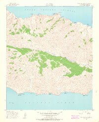
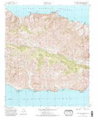
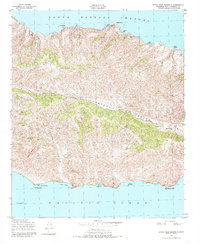
Editions of this 1943 Santa Cruz Island B Map
5 editions found
Other maps of this area
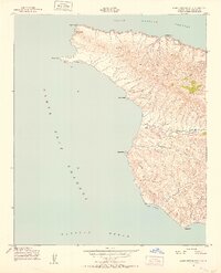
1943 · Santa Cruz Island A
USGS Topo · 1:24,000
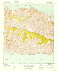
1943 · Santa Cruz Island B
USGS Topo · 1:24,000
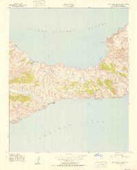
1943 · Santa Cruz Island C
USGS Topo · 1:24,000

1949 · Los Angeles
USGS Topo · 1:250,000

1949 · Long Beach
USGS Topo · 1:250,000

1955 · Los Angeles
USGS Topo · 1:250,000

1957 · Long Beach
USGS Topo · 1:250,000

1958 · Long Beach
USGS Topo · 1:250,000

1959 · Los Angeles
USGS Topo · 1:250,000

1960 · Long Beach
USGS Topo · 1:250,000