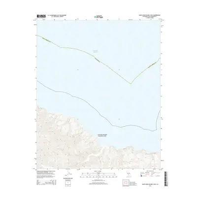
2015 Map of Santa Cruz Island C OE N
USGS Topo · Published 2015About this map
Channel Islands National Park dominates the southern half of this coastal quadrangle, where the steep, northern ridges of Santa Cruz Island rise abruptly from the sea. These topographic contours illustrate a dramatic shoreline within Santa Barbara Co, marking the interface between protected federal lands and the open waters of the Pacific Ocean. The map's detail reflects the island's isolation and its status as a preserved wilderness in the early 21st century, showing the rugged north-facing slopes and drainages that characterize this part of the California coast. Unlike mainland coastal surveys, this area is defined by the absence of permanent human settlements, focusing instead on the landforms and boundary lines of the maritime sanctuary.
Find a feature on this map
4 named features on this map. Tap any name to fly to it.
Don’t see what you’re looking for? This feature index may not catch every label — zoom into the map to look around manually.
Map Details
Editions of this 2015 Santa Cruz Island C OE N Map
This is the sole edition of this map. No revisions or reprints were ever made.
Other maps of this area
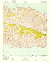
1943 · Santa Cruz Island B
USGS Topo · 1:24,000
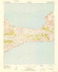
1943 · Santa Cruz Island C
USGS Topo · 1:24,000

1949 · Los Angeles
USGS Topo · 1:250,000

1949 · Long Beach
USGS Topo · 1:250,000

1955 · Los Angeles
USGS Topo · 1:250,000

1957 · Long Beach
USGS Topo · 1:250,000

1958 · Long Beach
USGS Topo · 1:250,000

1959 · Los Angeles
USGS Topo · 1:250,000

1960 · Long Beach
USGS Topo · 1:250,000

1966 · Los Angeles
USGS Topo · 1:250,000