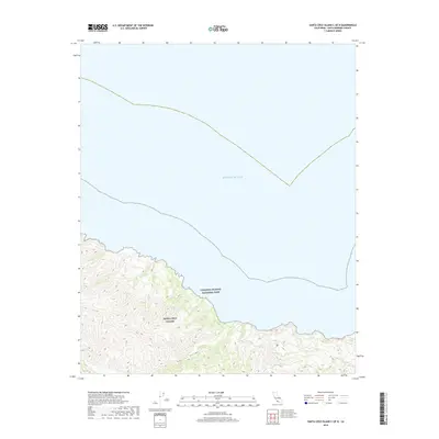
2018 Map of Santa Cruz Island C OE N
USGS Topo · Published 2018About this map
Santa Cruz Island and its northern shoreline are the focus of this 2018 topographic study within Channel Islands National Park. The landscape is dominated by the interior Central Valley, a significant topographical depression that cuts through the island’s mountainous center. The map documents the northern coastline as it meets the Pacific Ocean, showing the relationship between the island's steep ridges and the surrounding marine environment. This edition reflects the modern protected status of the land, detailing the undeveloped terrain and the preserve's natural boundaries as they existed in the late 2010s.
Find a feature on this map
4 named features on this map. Tap any name to fly to it.
Don’t see what you’re looking for? This feature index may not catch every label — zoom into the map to look around manually.
Map Details
Editions of this 2018 Santa Cruz Island C OE N Map
This is the sole edition of this map. No revisions or reprints were ever made.
Other maps of this area
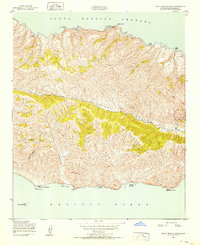
1943 · Santa Cruz Island B
USGS Topo · 1:24,000
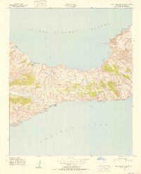
1943 · Santa Cruz Island C
USGS Topo · 1:24,000

1949 · Los Angeles
USGS Topo · 1:250,000

1949 · Long Beach
USGS Topo · 1:250,000

1955 · Los Angeles
USGS Topo · 1:250,000

1957 · Long Beach
USGS Topo · 1:250,000

1958 · Long Beach
USGS Topo · 1:250,000

1959 · Los Angeles
USGS Topo · 1:250,000

1960 · Long Beach
USGS Topo · 1:250,000

1966 · Los Angeles
USGS Topo · 1:250,000