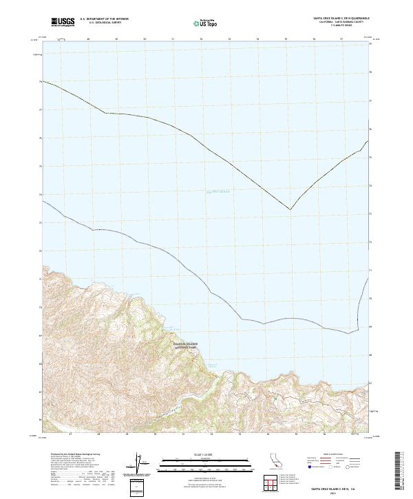
2021 Map of Santa Cruz Island C OE N
USGS Topo · Published 2021About this map
Channel Islands National Park occupies the rugged northern coastline of Santa Cruz Island, where the land drops sharply into the Pacific Ocean. This 2021 survey illustrates the island's interior and coastal transition, anchored by the Central Valley that runs through the southern portion of the sheet. The northern shore is marked by a series of small, sheltered inlets including Twin Harbors, Pelican Bay, Tinkers Harbor, and the prominent Prisoners Harbor.
Find a feature on this map
10 named features on this map. Tap any name to fly to it.
Don’t see what you’re looking for? This feature index may not catch every label — zoom into the map to look around manually.
Map Details
Editions of this 2021 Santa Cruz Island C OE N Map
This is the sole edition of this map. No revisions or reprints were ever made.
Other maps of this area
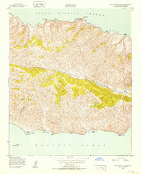
1943 · Santa Cruz Island B
USGS Topo · 1:24,000
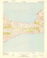
1943 · Santa Cruz Island C
USGS Topo · 1:24,000

1949 · Los Angeles
USGS Topo · 1:250,000

1949 · Long Beach
USGS Topo · 1:250,000

1955 · Los Angeles
USGS Topo · 1:250,000

1957 · Long Beach
USGS Topo · 1:250,000

1958 · Long Beach
USGS Topo · 1:250,000

1959 · Los Angeles
USGS Topo · 1:250,000

1960 · Long Beach
USGS Topo · 1:250,000

1966 · Los Angeles
USGS Topo · 1:250,000