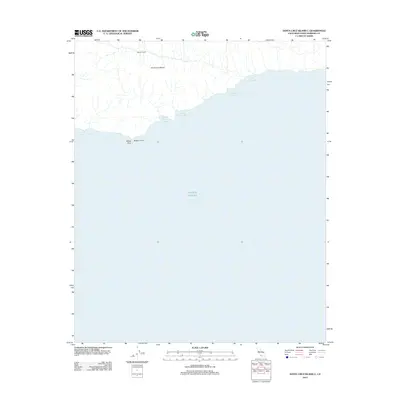
2012 Map of Santa Cruz Island C
USGS Topo · Published 2012About this map
Stanton Ranch sits inland on the southern coastline of Santa Cruz Island, overlooking a series of natural maritime harbors. This rugged island geography is defined by its series of south-facing landing sites, including Coches Prietos Anchorage and Willows Anchorage, which historically provided essential shelter for vessels navigating the Pacific Ocean. The coastal morphology is marked by prominent landmarks such as Bowen Point and the distinct White Rock, serving as navigational aids for those approaching the island's shores. The interior terrain is characterized by a network of drainage systems flowing toward the coast, where quiet havens like Albert Anchorage, Blue Banks Anchorage, and Valley Anchorage punctuate the interface between the land and the sea.
Find a feature on this map
10 named features on this map. Tap any name to fly to it.
Don’t see what you’re looking for? This feature index may not catch every label — zoom into the map to look around manually.
Map Details
Editions of this 2012 Santa Cruz Island C Map
This is the sole edition of this map. No revisions or reprints were ever made.
Other maps of this area
1943 · Santa Cruz Island B
USGS Topo · 1:24,000
1943 · Santa Cruz Island C
USGS Topo · 1:24,000

1949 · Los Angeles
USGS Topo · 1:250,000

1949 · Long Beach
USGS Topo · 1:250,000

1955 · Los Angeles
USGS Topo · 1:250,000

1957 · Long Beach
USGS Topo · 1:250,000

1958 · Long Beach
USGS Topo · 1:250,000

1959 · Los Angeles
USGS Topo · 1:250,000

1960 · Long Beach
USGS Topo · 1:250,000

1966 · Los Angeles
USGS Topo · 1:250,000