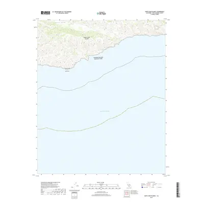
2018 Map of Santa Cruz Island C
USGS Topo · Published 2018About this map
Santa Cruz Island rises from the Pacific Ocean in this topographic study, highlighting the protected coastal environment within the Channel Islands National Park. The southern shoreline is marked by prominent landmarks such as Bowen Point and White Rock, where the land meets the sea in a series of sharp topographical contours. Further inland, the distinctive Central Valley provides a rare level corridor through the island's interior, contrasting with the steep ridgelines that characterize the surrounding terrain. This survey documents the intersection of maritime and terrestrial geography, capturing the preservation of one of California's most significant offshore landmasses as it appeared in 2018.
Find a feature on this map
6 named features on this map. Tap any name to fly to it.
Don’t see what you’re looking for? This feature index may not catch every label — zoom into the map to look around manually.
Map Details
Editions of this 2018 Santa Cruz Island C Map
This is the sole edition of this map. No revisions or reprints were ever made.
Other maps of this area
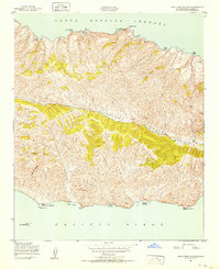
1943 · Santa Cruz Island B
USGS Topo · 1:24,000
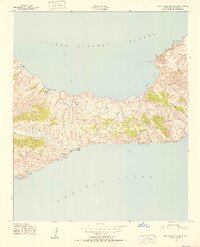
1943 · Santa Cruz Island C
USGS Topo · 1:24,000

1949 · Los Angeles
USGS Topo · 1:250,000

1949 · Long Beach
USGS Topo · 1:250,000

1955 · Los Angeles
USGS Topo · 1:250,000

1957 · Long Beach
USGS Topo · 1:250,000

1958 · Long Beach
USGS Topo · 1:250,000

1959 · Los Angeles
USGS Topo · 1:250,000

1960 · Long Beach
USGS Topo · 1:250,000

1966 · Los Angeles
USGS Topo · 1:250,000