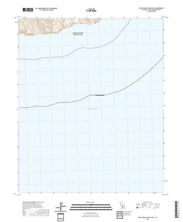
2021 Map of Santa Cruz Island D OE S
USGS Topo · Published 2021About this map
Channel Islands National Park encompasses the coastal fringe and surrounding waters of this Santa Cruz Island terrain, where the land meets the vast expanse of the Pacific Ocean. This modern survey reveals a largely undeveloped maritime landscape defined by high coastal elevations and the transition from rugged shorelines to deep water. Along the northern edge of the map, the Los Pinos Del Sur Trl winds through the hills, providing a glimpse into the limited accessibility of this protected environment. Notable coastal landmarks such as Sandstone Point highlight the geological character of the island’s southern edge. The lack of modern settlements emphasizes the area's conservation status, serving as a clear record of the island's topographic and ecological preservation.
Find a feature on this map
5 named features on this map. Tap any name to fly to it.
Don’t see what you’re looking for? This feature index may not catch every label — zoom into the map to look around manually.
Map Details
Editions of this 2021 Santa Cruz Island D OE S Map
This is the sole edition of this map. No revisions or reprints were ever made.
Other maps of this area
1943 · Santa Cruz Island C
USGS Topo · 1:24,000
1943 · Santa Cruz Island D
USGS Topo · 1:24,000

1949 · Los Angeles
USGS Topo · 1:250,000

1949 · Long Beach
USGS Topo · 1:250,000

1955 · Los Angeles
USGS Topo · 1:250,000

1957 · Long Beach
USGS Topo · 1:250,000

1958 · Long Beach
USGS Topo · 1:250,000

1959 · Los Angeles
USGS Topo · 1:250,000

1960 · Long Beach
USGS Topo · 1:250,000

1966 · Los Angeles
USGS Topo · 1:250,000