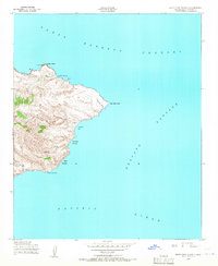
1943 Map of Santa Cruz Island D
USGS Topo · Published 1966About this map
Scorpion Anchorage and the eastern reaches of Santa Cruz Island are captured in this mid-century survey, conducted during the Second World War for the Army Map Service. The landscape is defined by its maritime geography, where the Santa Barbara Channel meets the Anacapa Passage. Topographical detail reveals a network of coastal features used for navigation and shelter, including Smugglers Cove and Yellowbanks Anchorage.
Find a feature on this map
13 named features on this map. Tap any name to fly to it.
Don’t see what you’re looking for? This feature index may not catch every label — zoom into the map to look around manually.
Map Details
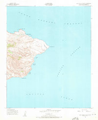
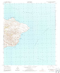
Editions of this 1943 Santa Cruz Island D Map
3 editions found
Other maps of this area
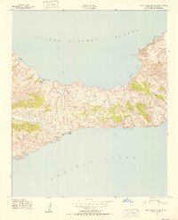
1943 · Santa Cruz Island C
USGS Topo · 1:24,000

1949 · Los Angeles
USGS Topo · 1:250,000

1949 · Long Beach
USGS Topo · 1:250,000

1955 · Los Angeles
USGS Topo · 1:250,000

1957 · Long Beach
USGS Topo · 1:250,000

1958 · Long Beach
USGS Topo · 1:250,000

1959 · Los Angeles
USGS Topo · 1:250,000

1960 · Long Beach
USGS Topo · 1:250,000

1966 · Los Angeles
USGS Topo · 1:250,000
1975 · Los Angeles
USGS Topo · 1:250,000