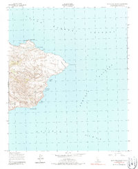
1943 Map of Santa Cruz Island D
USGS Topo · Published 1988About this map
Coastal topography and maritime landmarks define the eastern end of the island in this 1943 survey by Fairchild Aerial Surveys, Inc. for the Army Map Service. The landscape is marked by steep elevation changes and deep drainages like Hungryman Gulch, terminating at dramatic coastal features such as Cavern Point and San Pedro Point. The eastern shoreline is dotted with safe harbors and landings including Scorpion Anchorage, Smugglers Cove, and Yellowbanks Anchorage. The map reveals a remote environment where maritime navigation and natural freshwater sources like the Spring near the center of the sheet were critical for any terrestrial activity. Offshore, the waters of the Santa Barbara Channel and Anacapa Passage surround the land, highlighting the isolation of this terrain during the mid-twentieth century.
Find a feature on this map
12 named features on this map. Tap any name to fly to it.
Don’t see what you’re looking for? This feature index may not catch every label — zoom into the map to look around manually.
Map Details
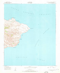
Editions of this 1943 Santa Cruz Island D Map
3 editions found
Other maps of this area
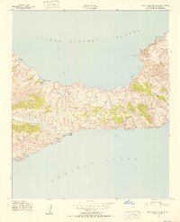
1943 · Santa Cruz Island C
USGS Topo · 1:24,000
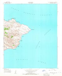
1943 · Santa Cruz Island D
USGS Topo · 1:24,000

1949 · Los Angeles
USGS Topo · 1:250,000

1949 · Long Beach
USGS Topo · 1:250,000

1955 · Los Angeles
USGS Topo · 1:250,000

1957 · Long Beach
USGS Topo · 1:250,000

1958 · Long Beach
USGS Topo · 1:250,000

1959 · Los Angeles
USGS Topo · 1:250,000

1960 · Long Beach
USGS Topo · 1:250,000

1966 · Los Angeles
USGS Topo · 1:250,000