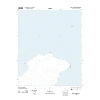
2012 Map of Santa Cruz Island D
USGS Topo · Published 2012About this map
Santa Cruz Island rises from the Pacific Ocean in this 2012 survey, showcasing the eastern reaches of the largest of California's Channel Islands. The coastline is defined by a series of natural havens and rugged points, including Scorpion Anchorage and Smugglers Cove, which serve as primary access points for the island. The interior drainage is marked by steep features like Hungryman Gulch, which cut toward the eastern shoreline near San Pedro Point.
Find a feature on this map
13 named features on this map. Tap any name to fly to it.
Don’t see what you’re looking for? This feature index may not catch every label — zoom into the map to look around manually.
Map Details
Editions of this 2012 Santa Cruz Island D Map
This is the sole edition of this map. No revisions or reprints were ever made.
Other maps of this area
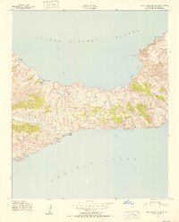
1943 · Santa Cruz Island C
USGS Topo · 1:24,000
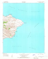
1943 · Santa Cruz Island D
USGS Topo · 1:24,000

1949 · Los Angeles
USGS Topo · 1:250,000

1949 · Long Beach
USGS Topo · 1:250,000

1955 · Los Angeles
USGS Topo · 1:250,000

1957 · Long Beach
USGS Topo · 1:250,000

1958 · Long Beach
USGS Topo · 1:250,000

1959 · Los Angeles
USGS Topo · 1:250,000

1960 · Long Beach
USGS Topo · 1:250,000

1966 · Los Angeles
USGS Topo · 1:250,000