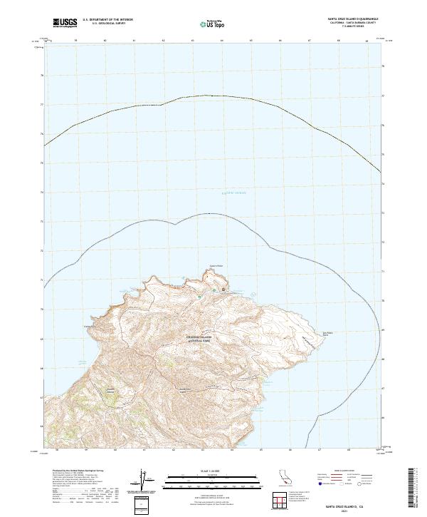
2021 Map of Santa Cruz Island D
USGS Topo · Published 2021About this map
Santa Cruz Island and its eastern coastal reaches are documented in this 2021 study, highlighting the protected land within Channel Islands National Park. The topography is defined by significant elevations like High Mount and prominent coastal landmarks such as Cavern Point and San Pedro Point. A network of trails, including the Scorpion Loop Trl and Oil Well Trl, crisscrosses the island, suggesting a landscape primarily managed for conservation and limited pedestrian access.
Find a feature on this map
25 named features on this map. Tap any name to fly to it.
Don’t see what you’re looking for? This feature index may not catch every label — zoom into the map to look around manually.
Map Details
Editions of this 2021 Santa Cruz Island D Map
This is the sole edition of this map. No revisions or reprints were ever made.
Other maps of this area
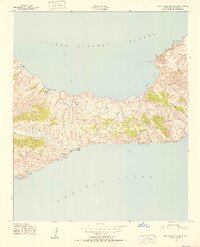
1943 · Santa Cruz Island C
USGS Topo · 1:24,000
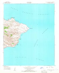
1943 · Santa Cruz Island D
USGS Topo · 1:24,000

1949 · Los Angeles
USGS Topo · 1:250,000

1949 · Long Beach
USGS Topo · 1:250,000

1955 · Los Angeles
USGS Topo · 1:250,000

1957 · Long Beach
USGS Topo · 1:250,000

1958 · Long Beach
USGS Topo · 1:250,000

1959 · Los Angeles
USGS Topo · 1:250,000

1960 · Long Beach
USGS Topo · 1:250,000

1966 · Los Angeles
USGS Topo · 1:250,000