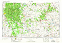
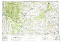
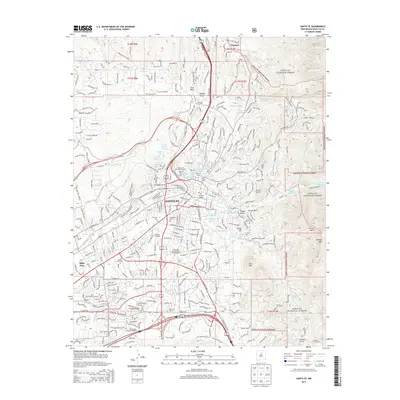
1954 Map of Santa Fe
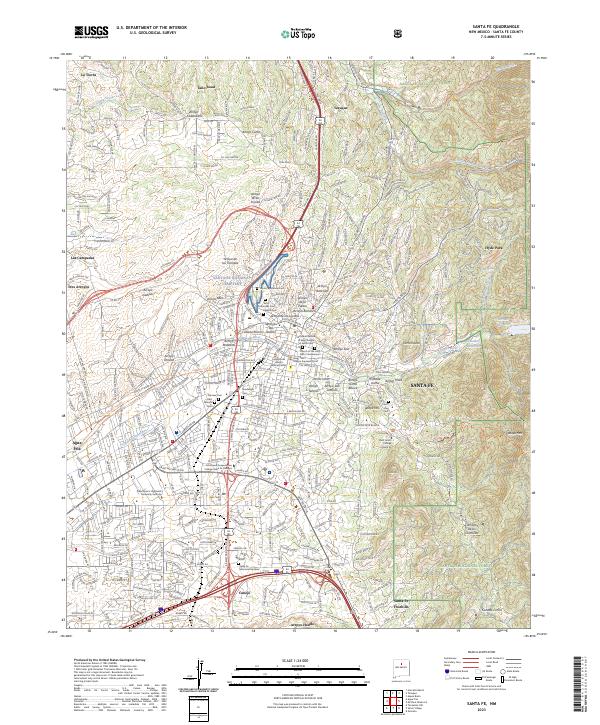
USGS Topo · Published 1968About this map
The Sangre de Cristo Mountains dominate the western landscape of this mid-century survey, rising sharply above the state capital at Santa Fe. To the east, the terrain transitions into the high plains and mesa country, where the Atchison Topeka and Santa Fe railroad snakes through the mountains at Glorieta and follows the Gallinas River to Las Vegas. The map documents a sprawling network of ranching infrastructure, punctuated by thousands of windmills and remote outposts across the Mora River and Canadian River basins.
Find a feature on this map
197 named features on this map. Tap any name to fly to it.
Don’t see what you’re looking for? This feature index may not catch every label — zoom into the map to look around manually.
Map Details
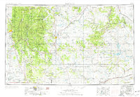
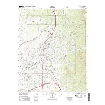
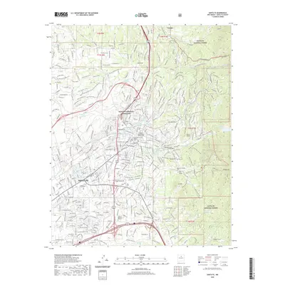
Editions of this 1954 Santa Fe Map
4 editions found

Historical Maps of Santa Fe Through Time
13 maps found

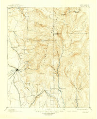
1889 Santa Fe
Santa Fe County, NM
1894 Santa Fe
Santa Fe County, NM
1952 Santa Fe
Santa Fe County, NM
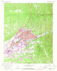
1954 Santa Fe
Santa Fe County, NM

1958 Santa Fe
Santa Fe County, NM
1961 Santa Fe
Santa Fe County, NM

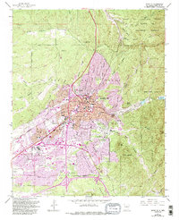
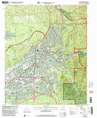
1983 Santa Fe
Santa Fe County, NM
2002 Santa Fe
Santa Fe County, NM
2011 Santa Fe
Santa Fe County, NM
2013 Santa Fe
Santa Fe County, NM
2017 Santa Fe
Santa Fe County, NM
2020 Santa Fe
Santa Fe County, NM
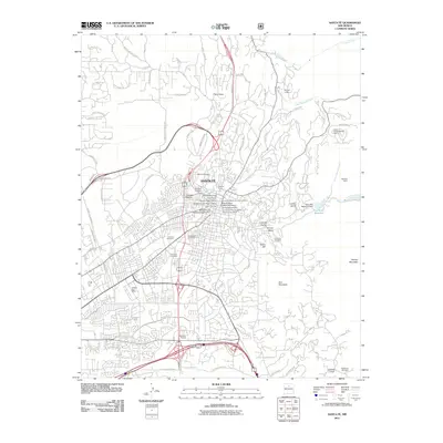
2023 Santa Fe
Santa Fe County, NM