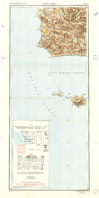
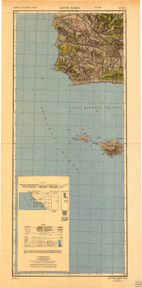
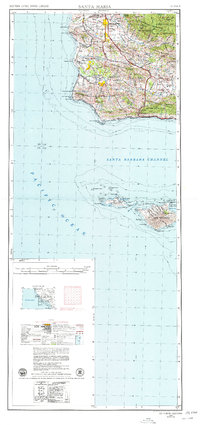
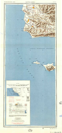
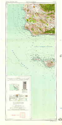
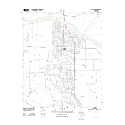
1948 Map of Santa Maria
USGS Topo · Published 1951About this map
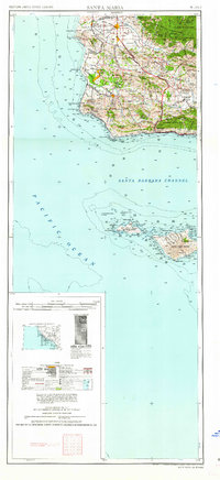
Camp Cooke Military Reservation dominates the coastal terrace of the central California coast, established during the Second World War as a sprawling training facility. This survey details the landscape just after the war, showing the intensive infrastructure of oil fields and oil tanks concentrated near Orcutt and Bicknell. The Southern Pacific railroad follows the coastline, passing through small coastal stations like Surf and Sudden before rounding Point Conception. Inland, the agrarian and ranching character of the Santa Ynez Valley is evident through settlements like Solvang, Los Olivos, and Ballard. The presence of small rural institutions such as Honda School and San Julian School suggests a dispersed population still tied to the land. The map also encompasses the northern Channel Islands, including San Miguel Island and Santa Rosa Island, and the steep, undeveloped slopes of the Los Padres National Forest in the San Rafael Mountains.
Find a feature on this map
83 named features on this map. Tap any name to fly to it.
Don’t see what you’re looking for? This feature index may not catch every label — zoom into the map to look around manually.
Map Details
Editions of this 1948 Santa Maria Map
2 editions found
Historical Maps of Santa Maria Through Time
15 maps found
1942 Santa Maria
Santa Barbara County, CA
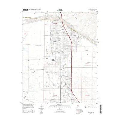
1947 Santa Maria
Santa Barbara County, CA
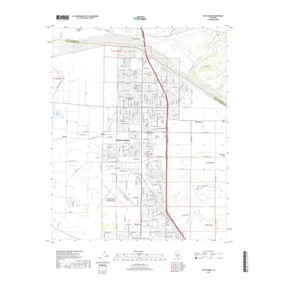
1948 Santa Maria
Santa Barbara County, CA
1956 Santa Maria
Santa Barbara County, CA
1957 Santa Maria
Santa Barbara County, CA
1958 Santa Maria
Santa Barbara County, CA
1959 Santa Maria
Santa Barbara County, CA
1959 Santa Maria
Santa Barbara County, CA
1962 Santa Maria
Santa Barbara County, CA
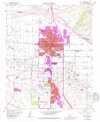
1982 Santa Maria
Santa Barbara County, CA
1989 Santa Maria
Santa Barbara County, CA
2012 Santa Maria
Santa Barbara County, CA
2015 Santa Maria
Santa Barbara County, CA
2018 Santa Maria
Santa Barbara County, CA
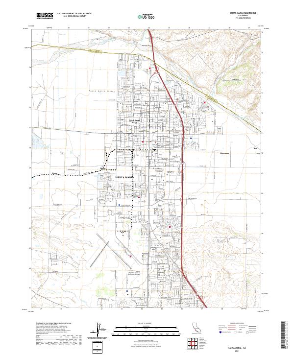
2021 Santa Maria
Santa Barbara County, CA