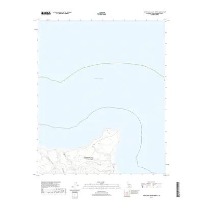
2018 Map of Santa Rosa Island North
USGS Topo · Published 2018About this map
Channel Islands National Park protects the northern coastline of Santa Rosa Island, where steep drainages meet the Pacific Ocean. This 2018 survey documents a landscape defined by significant coastal erosion and the deep incisions of watercourses like Cañada Verde and Cañada Lobos. The island's northern edge is characterized by these narrow canyons, including Cow Canyon, which carve through the rugged island interior to reach the sea. As part of a protected national park, the map highlights the natural hydrography and terrain of this offshore territory in Santa Barbara County, showing the undeveloped state of the island's northern reaches in the early twenty-first century.
Find a feature on this map
5 named features on this map. Tap any name to fly to it.
Don’t see what you’re looking for? This feature index may not catch every label — zoom into the map to look around manually.
Map Details
Editions of this 2018 Santa Rosa Island North Map
This is the sole edition of this map. No revisions or reprints were ever made.
Other maps of this area
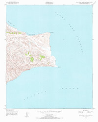
1943 · Santa Rosa Island East
USGS Topo · 1:24,000
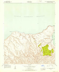
1943 · Santa Rosa Island North
USGS Topo · 1:24,000

1948 · Santa Maria
USGS Topo · 1:250,000

1949 · Los Angeles
USGS Topo · 1:250,000

1949 · Long Beach
USGS Topo · 1:250,000

1955 · Los Angeles
USGS Topo · 1:250,000

1956 · Santa Maria
USGS Topo · 1:250,000

1957 · Long Beach
USGS Topo · 1:250,000

1957 · Santa Maria
USGS Topo · 1:250,000

1958 · Santa Maria
USGS Topo · 1:250,000