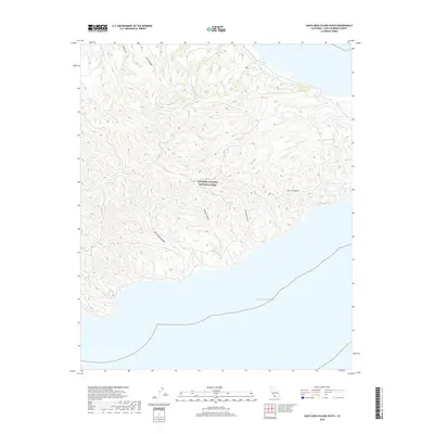
2018 Map of Santa Rosa Island South
USGS Topo · Published 2018About this map
Channel Islands National Park encompasses the entire terrestrial area of this southern island survey, where a complex network of steep drainages defines the rugged landscape. The interior is marked by significant features such as the Sierra Pablo peak and deep incisions like Wreck Canyon and San Augustin Canyon, which channel toward the south coast. The geography reflects the isolation of the island, with only the natural terrain and the vast Pacific Ocean to orient the viewer. Smaller topographical features like Cañada Verde, Cow Canyon, and Jolla Vieja Canyon illustrate the intricate erosion patterns typical of this maritime environment. This map serves as a primary record of the island's physical state in the early 21st century, showing the intersection of managed parkland and untouched coastal wilderness.
Find a feature on this map
8 named features on this map. Tap any name to fly to it.
Don’t see what you’re looking for? This feature index may not catch every label — zoom into the map to look around manually.
Map Details
Editions of this 2018 Santa Rosa Island South Map
This is the sole edition of this map. No revisions or reprints were ever made.
Other maps of this area
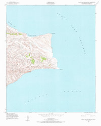
1943 · Santa Rosa Island East
USGS Topo · 1:24,000
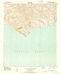
1943 · Santa Rosa Island South
USGS Topo · 1:24,000
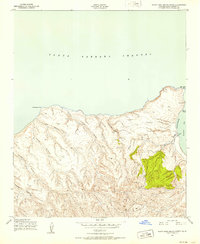
1943 · Santa Rosa Island North
USGS Topo · 1:24,000

1948 · Santa Maria
USGS Topo · 1:250,000

1949 · Los Angeles
USGS Topo · 1:250,000

1949 · Long Beach
USGS Topo · 1:250,000

1955 · Los Angeles
USGS Topo · 1:250,000

1956 · Santa Maria
USGS Topo · 1:250,000

1957 · Long Beach
USGS Topo · 1:250,000

1957 · Santa Maria
USGS Topo · 1:250,000