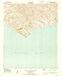
1943 Map of Santa Rosa Island South
USGS Topo · Published 1952About this map
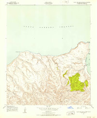
Johnsons Lee sits on the southern edge of the island, overlooking the vast Pacific Ocean during the height of World War II. This topographic study, mapped for the Army Corps of Engineers, reveals a landscape carved by drainage networks such as Jolla Vieja Canyon and the evocatively named Wreck Canyon. The interior is defined by named peaks including Barton 2, Bald Hill 2, and Lopez, which served as critical survey points for the Geological Survey. The coastline transitions from the prominent South Point in the west to Ford Point in the east, reflecting the island's isolation and its strategic maritime importance in the early 1940s.
Find a feature on this map
12 named features on this map. Tap any name to fly to it.
Don’t see what you’re looking for? This feature index may not catch every label — zoom into the map to look around manually.
Map Details
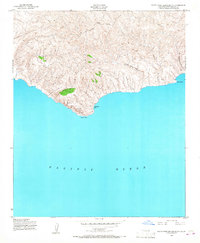
Editions of this 1943 Santa Rosa Island South Map
2 editions found
Other maps of this area
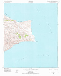
1943 · Santa Rosa Island East
USGS Topo · 1:24,000
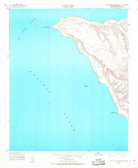
1943 · Santa Rosa Island West
USGS Topo · 1:24,000
1943 · Santa Rosa Island North
USGS Topo · 1:24,000

1948 · Santa Maria
USGS Topo · 1:250,000

1956 · Santa Maria
USGS Topo · 1:250,000

1957 · Santa Maria
USGS Topo · 1:250,000

1958 · Santa Maria
USGS Topo · 1:250,000

1962 · Santa Maria
USGS Topo · 1:250,000
1993 · Santa Rosa Island
USGS Topo · 1:100,000
2012 · Santa Rosa Island West
USGS Topo · 1:24,000