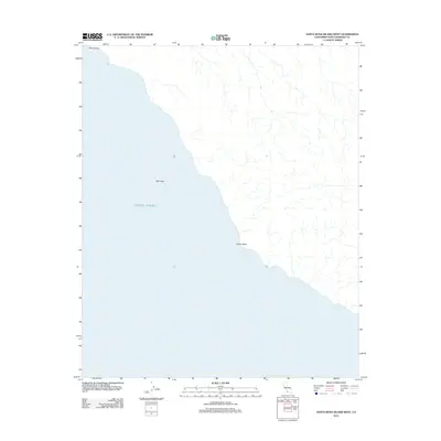
2012 Map of Santa Rosa Island West
USGS Topo · Published 2012About this map
Pacific Ocean waters dominate the western reaches of this maritime landscape, where the coastline of Santa Rosa Island meets the sea. This 2012 survey by the U.S. Geological Survey illustrates a sparsely populated terrain defined by coastal geography rather than human infrastructure. The map highlights prominent landforms such as Sandy Point at the northwestern tip and the rocky outcrop of Bee Rock situated just offshore. Further south along the rugged coast, Cluster Point serves as a significant landmark for the island's western shoreline. The interior drainage patterns are meticulously charted, showing numerous small creek beds and ravines that channel water toward the sea, reflecting the natural erosion of this isolated island environment within Santa Barbara County.
Find a feature on this map
4 named features on this map. Tap any name to fly to it.
Don’t see what you’re looking for? This feature index may not catch every label — zoom into the map to look around manually.
Map Details
Editions of this 2012 Santa Rosa Island West Map
This is the sole edition of this map. No revisions or reprints were ever made.
Other maps of this area
1943 · Santa Rosa Island South
USGS Topo · 1:24,000
1943 · Santa Rosa Island West
USGS Topo · 1:24,000
1943 · Santa Rosa Island North
USGS Topo · 1:24,000
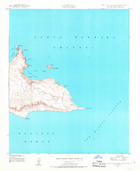
1943 · San Miguel Island East
USGS Topo · 1:24,000

1948 · Santa Maria
USGS Topo · 1:250,000
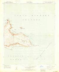
1950 · San Miguel Island East
USGS Topo · 1:24,000

1956 · Santa Maria
USGS Topo · 1:250,000

1957 · Santa Maria
USGS Topo · 1:250,000

1958 · Santa Maria
USGS Topo · 1:250,000

1962 · Santa Maria
USGS Topo · 1:250,000