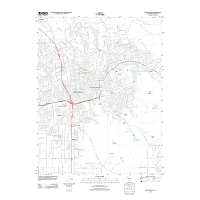
2012 Map of Santa Rosa
USGS Topo · Published 2012About this map
Santa Rosa serves as the dense urban core of this Sonoma County landscape, surrounded by a distinct ring of suburban and rural neighborhoods. The map reveals an extensive concentration of historical burial grounds north of the city center, including the Santa Rosa Rural Cem, Independent Order of Oddfellows Cem, and Santa Rosa Memorial Park. These sites, clustered together, offer significant genealogical value for the region.
Find a feature on this map
149 named features on this map. Tap any name to fly to it.
Don’t see what you’re looking for? This feature index may not catch every label — zoom into the map to look around manually.
Map Details
Editions of this 2012 Santa Rosa Map
This is the sole edition of this map. No revisions or reprints were ever made.
Other maps of this area

1916 · Santa Rosa
USGS Topo · 1:62,500

1920 · Healdsburg
USGS Topo · 1:62,500

1927 · Calistoga
USGS Topo · 1:62,500

1933 · Healdsburg
USGS Topo · 1:48,000

1935 · Sebastopol
USGS Topo · 1:48,000

1940 · Healdsburg
USGS Topo · 1:62,500

1942 · Sebastopol
USGS Topo · 1:62,500

1943 · Calistoga
USGS Topo · 1:62,500

1944 · Santa Rosa
USGS Topo · 1:62,500

1945 · Calistoga
USGS Topo · 1:62,500