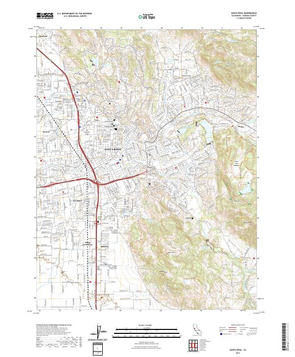
2021 Map of Santa Rosa
USGS Topo · Published 2021About this map
Santa Rosa serves as the dense urban core of this Sonoma County landscape, where the confluence of Santa Rosa Cr and residential expansion meets the foothills of the Coast Ranges. Modern infrastructure like 101 and 12 bisects the city, yet the map preserves a significant concentration of local heritage sites, particularly in the northern and eastern neighborhoods. A notable cluster of burial grounds, including the Santa Rosa Rural Cem, Beth Ami Cem, and the Santa Rosa Odd Fellows Cem, marks the city's historical development and genealogical footprint.
Find a feature on this map
62 named features on this map. Tap any name to fly to it.
Don’t see what you’re looking for? This feature index may not catch every label — zoom into the map to look around manually.
Map Details
Editions of this 2021 Santa Rosa Map
This is the sole edition of this map. No revisions or reprints were ever made.
Other maps of this area

1916 · Santa Rosa
USGS Topo · 1:62,500

1920 · Healdsburg
USGS Topo · 1:62,500

1927 · Calistoga
USGS Topo · 1:62,500

1933 · Healdsburg
USGS Topo · 1:48,000

1935 · Sebastopol
USGS Topo · 1:48,000

1940 · Healdsburg
USGS Topo · 1:62,500

1942 · Sebastopol
USGS Topo · 1:62,500

1943 · Calistoga
USGS Topo · 1:62,500

1944 · Santa Rosa
USGS Topo · 1:62,500

1945 · Calistoga
USGS Topo · 1:62,500
Featured Places
- Santa Rosa, CA
- Larkfield-Wikiup, CA
- Roseland, Santa Rosa
- South Santa Rosa, Santa Rosa
- Bellevue, Santa Rosa