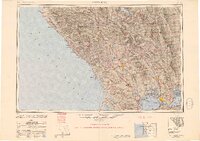
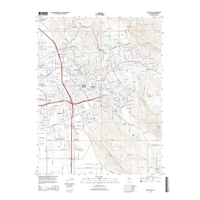
1949 Map of Santa Rosa
USGS Topo · Published 1951About this map
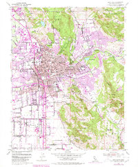
Northwestern Pacific rail lines and postwar aviation infrastructure define this late-1940s landscape of the Northern California coast. The map illustrates a transitional era where military sites like Santa Rosa Army Air Field and Hamilton Field stand alongside established agricultural corridors in the Cotati Valley and Berryessa Valley. Along the coastline, small outposts and historical sites such as Fort Ross and the Anchor Bay Settlement dot the cliffs between Point Arena and Bodega Bay.
Find a feature on this map
162 named features on this map. Tap any name to fly to it.
Don’t see what you’re looking for? This feature index may not catch every label — zoom into the map to look around manually.
Map Details
Editions of this 1949 Santa Rosa Map
2 editions found

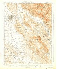
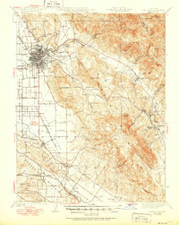
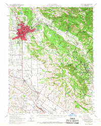
Historical Maps of Santa Rosa Through Time
14 maps found
1916 Santa Rosa
Sonoma County, CA
1944 Santa Rosa
Sonoma County, CA

1947 Santa Rosa
Sonoma County, CA
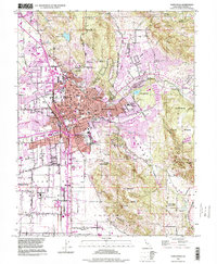
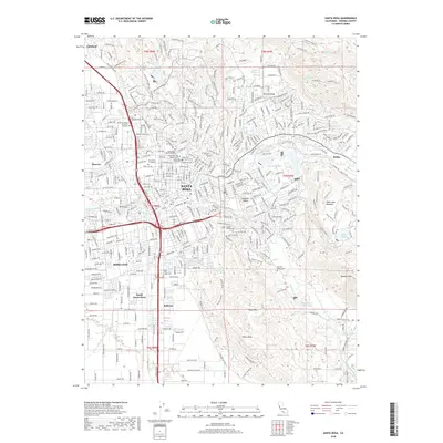
1949 Santa Rosa
Sonoma County, CA
1954 Santa Rosa
Sonoma County, CA
1954 Santa Rosa
Sonoma County, CA
1958 Santa Rosa
Sonoma County, CA

1962 Santa Rosa
Sonoma County, CA

1964 Santa Rosa
Sonoma County, CA
1994 Santa Rosa
Sonoma County, CA
2012 Santa Rosa
Sonoma County, CA
2015 Santa Rosa
Sonoma County, CA
2018 Santa Rosa
Sonoma County, CA
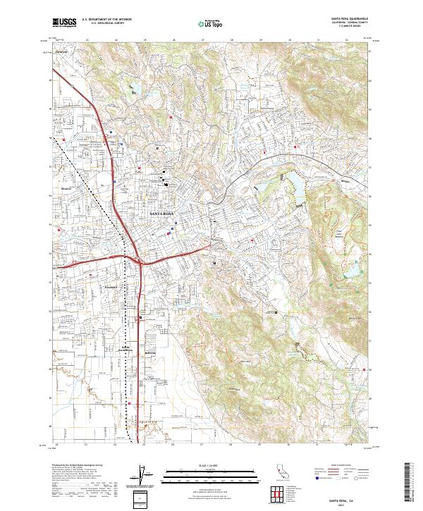
2021 Santa Rosa
Sonoma County, CA