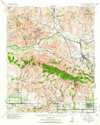
1941 Map of Santa Susana
USGS Topo · Published 1964About this map
The Santa Susana Mountains serve as a dramatic backdrop to a landscape balancing early petroleum extraction and cattle ranching in the early 1940s. Heavy industrial activity is evident through the presence of the Newhall-Potrero Oil Field, Pico Oil Field, and the Tapo Coquina Mine, marking the region's reliance on mineral and oil resources. Movement through the steep terrain is dictated by the Santa Susana Pass and the Southern Pacific railroad line, which connects the developing Simi Valley Community with Saugus and Newhall.
Find a feature on this map
106 named features on this map. Tap any name to fly to it.
Don’t see what you’re looking for? This feature index may not catch every label — zoom into the map to look around manually.
Map Details
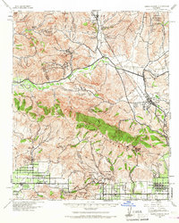
Editions of this 1941 Santa Susana Map
2 editions found
Other maps of this area

1894 · Los Angeles
USGS Topo · 1:62,500

1896 · Santa Monica
USGS Topo · 1:62,500

1898 · Santa Monica
USGS Topo · 1:62,500

1900 · Los Angeles
USGS Topo · 1:62,500

1900 · Fernando
USGS Topo · 1:62,500

1900 · Triunfo Pass
USGS Topo · 1:62,500

1900 · Piru
USGS Topo · 1:62,500

1901 · Southern California Sheet No. 1
USGS Topo · 1:250,000

1902 · Santa Monica
USGS Topo · 1:62,500

1903 · Calabasas
USGS Topo · 1:62,500