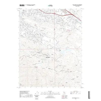
2018 Map of Santa Teresa Hills
USGS Topo · Published 2018About this map
New Almaden and the surrounding Santa Teresa Hills define the northern reaches of the Santa Cruz Mountains on this 2018 survey. The landscape is marked by its mining legacy, centered on the heights of Mine Hill and the former settlement sites of English Town and Church Hill. These names recall the intensive quicksilver mining operations that once dominated the region. Near the modern suburban edges of San Jose, the terrain transitions into a complex network of public trails and open spaces, such as the Stile Ranch Trail and Rocky Ridge Trail.
Find a feature on this map
231 named features on this map. Tap any name to fly to it.
Don’t see what you’re looking for? This feature index may not catch every label — zoom into the map to look around manually.
Map Details
Editions of this 2018 Santa Teresa Hills Map
This is the sole edition of this map. No revisions or reprints were ever made.
Other maps of this area

1889 · San Jose
USGS Topo · 1:62,500

1897 · San Jose
USGS Topo · 1:62,500

1897 · Mt. Hamilton
USGS Topo · 1:62,500

1899 · San Jose
USGS Topo · 1:62,500

1916 · New Almaden
USGS Topo · 1:48,000

1917 · Morgan Hill
USGS Topo · 1:62,500

1919 · New Almaden
USGS Topo · 1:62,500

1939 · Morgan Hill
USGS Topo · 1:62,500

1940 · Los Gatos
USGS Topo · 1:62,500

1941 · Morgan Hill
USGS Topo · 1:62,500