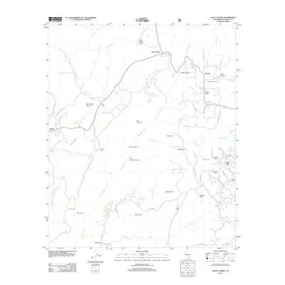
2012 Map of Santa Ysabel
USGS Topo · Published 2012About this map
Santa Ysabel Valley serves as a focal point for this landscape in San Diego County, where the historic crossroads of Santa Ysabel meets the upper reaches of the San Diego River. The map details a transition from open valleys to prominent peaks like Witch Creek Mountain and Dye Mountain. Small residential pockets and agricultural outposts such as Wynola, Pine Hills, and Peacefield Orchard are scattered throughout, illustrating the rural development patterns of the early 21st century. Significant water features including Santa Ysabel Cr and the heights of Mildred Falls underscore the importance of the local watershed. Notable named flats and canyons, from Daley Flat to Penin Canyon, reveal a complex topography of ridges and basins that have defined land use and property boundaries in this part of California for generations.
Find a feature on this map
69 named features on this map. Tap any name to fly to it.
Don’t see what you’re looking for? This feature index may not catch every label — zoom into the map to look around manually.
Map Details
Editions of this 2012 Santa Ysabel Map
This is the sole edition of this map. No revisions or reprints were ever made.
Other maps of this area

1893 · El Cajon
USGS Topo · 1:62,500

1901 · Elcajon
USGS Topo · 1:62,500

1903 · Cuyamaca
USGS Topo · 1:125,000

1903 · Elcajon
USGS Topo · 1:62,500

1903 · Ramona
USGS Topo · 1:125,000

1904 · Southern California Sheet No. 2
USGS Topo · 1:250,000

1939 · El Cajon
USGS Topo · 1:62,500

1939 · Santa Ysabel
USGS Topo · 1:62,500

1942 · El Cajon
USGS Topo · 1:62,500

1942 · Ramona
USGS Topo · 1:62,500