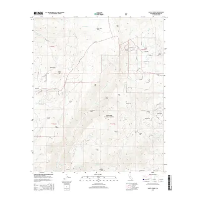
2015 Map of Santa Ysabel
USGS Topo · Published 2015About this map
Santa Ysabel Valley and the surrounding high country define this portion of the Peninsular Ranges as it appeared in 2015. The landscape is a network of named flats and canyons, including Collie Flat, Deadman Flat, and the deep Iron Springs Canyon. Small rural settlements like Ballena and Wynola are connected by historical thoroughfares such as Julian Rd and Slaughterhouse Rd.
Find a feature on this map
72 named features on this map. Tap any name to fly to it.
Don’t see what you’re looking for? This feature index may not catch every label — zoom into the map to look around manually.
Map Details
Editions of this 2015 Santa Ysabel Map
This is the sole edition of this map. No revisions or reprints were ever made.
Other maps of this area

1893 · El Cajon
USGS Topo · 1:62,500

1901 · Elcajon
USGS Topo · 1:62,500

1903 · Cuyamaca
USGS Topo · 1:125,000

1903 · Elcajon
USGS Topo · 1:62,500

1903 · Ramona
USGS Topo · 1:125,000

1904 · Southern California Sheet No. 2
USGS Topo · 1:250,000

1939 · El Cajon
USGS Topo · 1:62,500

1939 · Santa Ysabel
USGS Topo · 1:62,500

1942 · El Cajon
USGS Topo · 1:62,500

1942 · Ramona
USGS Topo · 1:62,500