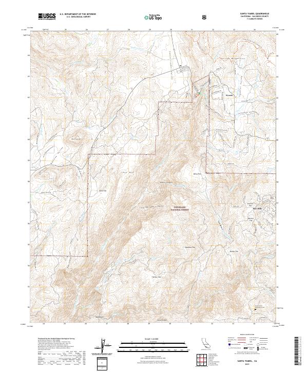
2021 Map of Santa Ysabel
USGS Topo · Published 2021About this map
Wynola and Pine Hills anchor this high-country landscape in San Diego County, where the Cleveland National Forest covers much of the central and southern terrain. The area is defined by its varied topography, featuring broad expanses like Ballena Valley and Spencer Valley, alongside the prominence of Volcan Mountains and Witch Creek Mtn. Numerous watercourses, including the San Diego River and Santa Ysabel Cr, carve through deep canyons such as Penin Canyon and Iron Springs Canyon. Genealogists and local researchers will find the Inaja Indian Reservation Cem near the southern boundary, while hikers can trace the Coast To Crest Trail Connector Trl through the hills. The map also records numerous seasonal flats and family-named landmarks like Bunton Flat, McGee Flat, and Kessler Flat, indicating a history of cattle grazing or early homesteading in these mountain meadows.
Find a feature on this map
87 named features on this map. Tap any name to fly to it.
Don’t see what you’re looking for? This feature index may not catch every label — zoom into the map to look around manually.
Map Details
Editions of this 2021 Santa Ysabel Map
This is the sole edition of this map. No revisions or reprints were ever made.
Other maps of this area

1893 · El Cajon
USGS Topo · 1:62,500

1901 · Elcajon
USGS Topo · 1:62,500

1903 · Cuyamaca
USGS Topo · 1:125,000

1903 · Elcajon
USGS Topo · 1:62,500

1903 · Ramona
USGS Topo · 1:125,000

1904 · Southern California Sheet No. 2
USGS Topo · 1:250,000

1939 · El Cajon
USGS Topo · 1:62,500

1939 · Santa Ysabel
USGS Topo · 1:62,500

1942 · El Cajon
USGS Topo · 1:62,500

1942 · Ramona
USGS Topo · 1:62,500