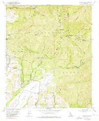
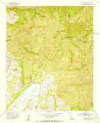
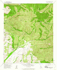
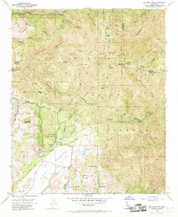
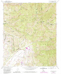
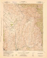
1954 Map of Santiago Peak
USGS Topo · Published 1976About this map
Santa Ana Mountains ridge lines define the eastern border of Orange County in this mid-century survey, dominated by the towering heights of Santiago Peak and Modjeska Peak. The landscape transitions from the high peaks of the Cleveland National Forest down into the canyon communities and ranch lands to the west. Evidence of local spiritual and educational life is visible at the Ramakrishna Monastery and Trabuco Sch, while the region's agricultural and rural character is anchored by 4S Ranch and Starr Ranch. A network of rugged access routes, including the Main Divide Truck Trail and Santiago Truck Trail, provides the primary infrastructure through the steep terrain, connecting points like Old Camp and the Trabuco Guard Sta to the developing Modjeska settlement near the Modjeska Reservoir.
Find a feature on this map
54 named features on this map. Tap any name to fly to it.
Don’t see what you’re looking for? This feature index may not catch every label — zoom into the map to look around manually.
Map Details
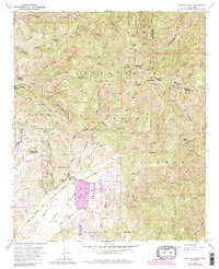
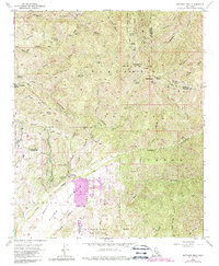
Editions of this 1954 Santiago Peak Map
7 editions found
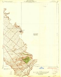
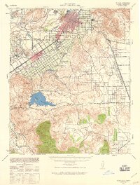
Other maps of this area

1901 · Southern California Sheet No. 1
USGS Topo · 1:250,000

1901 · Elsinore
USGS Topo · 1:125,000

1901 · Riverside
USGS Topo · 1:62,500

1902 · Corona
USGS Topo · 1:125,000

1904 · Southern California Sheet No. 1
USGS Topo · 1:250,000
1935 · El Toro
USGS Topo · 1:31,680

1942 · Lake Elsinore
USGS Topo · 1:62,500
1942 · Santiago Peak
USGS Topo · 1:62,500

1942 · Corona
USGS Topo · 1:62,500
1942 · Riverside
USGS Topo · 1:62,500
Featured Places
- Mission Viejo, CA
- Lake Forest, CA
- Rancho Santa Margarita, CA
- Portola Hills, Lake Forest
- Canyon Crest, Mission Viejo