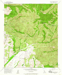
1954 Map of Santiago Peak
USGS Topo · Published 1960About this map
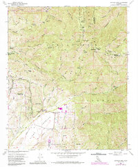
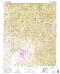
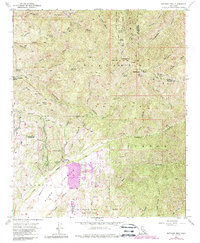
Santiago Peak (Old Saddleback) and Modjeska Peak dominate this 1954 survey of the Santa Ana Mountains, marking the rugged divide between Orange and Riverside counties. The landscape is a complex network of canyons and fire roads, including the Main Divide Truck Trail and Silverado Truck Trail, which provided critical access through the Cleveland National Forest before widespread modern development.
Find a feature on this map
58 named features on this map. Tap any name to fly to it.
Don’t see what you’re looking for? This feature index may not catch every label — zoom into the map to look around manually.
Map Details
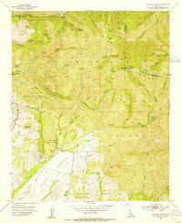
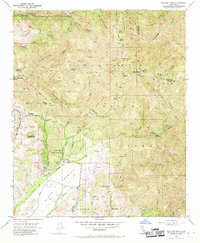
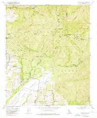
Editions of this 1954 Santiago Peak Map
7 editions found
Other maps of this area

1901 · Southern California Sheet No. 1
USGS Topo · 1:250,000

1901 · Elsinore
USGS Topo · 1:125,000

1901 · Riverside
USGS Topo · 1:62,500

1902 · Corona
USGS Topo · 1:125,000

1904 · Southern California Sheet No. 1
USGS Topo · 1:250,000

1935 · El Toro
USGS Topo · 1:31,680

1942 · Lake Elsinore
USGS Topo · 1:62,500

1942 · Santiago Peak
USGS Topo · 1:62,500

1942 · Corona
USGS Topo · 1:62,500

1942 · Riverside
USGS Topo · 1:62,500
Featured Places
- Mission Viejo, CA
- Lake Forest, CA
- Rancho Santa Margarita, CA
- Portola Hills, Lake Forest
- Canyon Crest, Mission Viejo