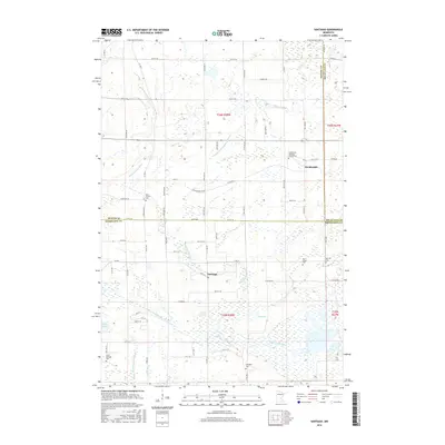
2016 Map of Santiago
USGS Topo · Published 2016About this map
Saint Francis River and the Snake River wind through this central Minnesota landscape, where the borders of Benton, Mille Lacs, and Sherburne counties converge. The area is defined by its agrarian character and numerous wetland features, including Pool Number 1, Boyd Lake, and Fox Pond. Settlement is concentrated around Santiago and Glendorado, with a notable density of rural cemeteries that speak to the long-standing community roots in the region. Genealogists can find several sites of interest such as the Glendorado Lutheran Church Cem, Saint Francis Cem, and Oak Hill Cem. The map reveals a complex water management system through features like County Ditch Number Thirteen and County Ditch Number Twenty-two, illustrating the historical effort to drain the marshy terrain for agricultural use.
Find a feature on this map
57 named features on this map. Tap any name to fly to it.
Don’t see what you’re looking for? This feature index may not catch every label — zoom into the map to look around manually.
Map Details
Editions of this 2016 Santiago Map
This is the sole edition of this map. No revisions or reprints were ever made.
Other maps of this area

1953 · Stillwater
USGS Topo · 1:250,000

1955 · Stillwater
USGS Topo · 1:250,000

1958 · Stillwater
USGS Topo · 1:250,000

1961 · Clear Lake
USGS Topo · 1:24,000

1961 · Orrock
USGS Topo · 1:24,000

1961 · Becker
USGS Topo · 1:24,000

1961 · Monticello
USGS Topo · 1:62,500

1961 · Elk River
USGS Topo · 1:62,500

1965 · Stillwater
USGS Topo · 1:250,000
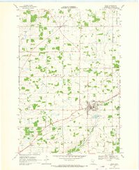
1968 · Foley
USGS Topo · 1:24,000