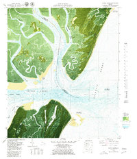
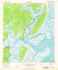
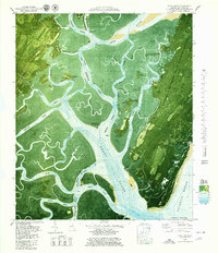
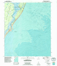
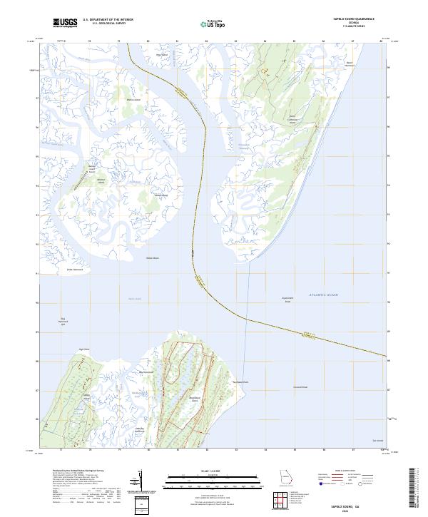
1979 Map of Sapelo Sound
USGS Topo · Published 1980This historical map portrays the area of Sapelo Sound in 1979, primarily covering McIntosh County as well as portions of Liberty County. Featuring a scale of 1:24000, this map provides a highly detailed snapshot of the terrain, roads, buildings, counties, and historical landmarks in the Sapelo Sound region at the time. Published in 1980, it is one of 2 known editions of this map due to revisions or reprints.
Find a feature on this map
41 named features on this map. Tap any name to fly to it.
Don’t see what you’re looking for? This feature index may not catch every label — zoom into the map to look around manually.
Map Details
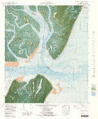
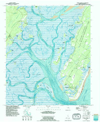
Editions of this 1979 Sapelo Sound Map
2 editions found
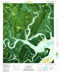
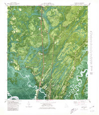
Historical Maps of Liberty County Through Time
27 maps found

1920 Cabretta Island
McIntosh County, GA

1920 Sapelo River
McIntosh County, GA

1943 Sapelo River
McIntosh County, GA

1944 Cabretta Island
McIntosh County, GA

1945 Sapelo River
McIntosh County, GA

1954 Cabretta Inlet
McIntosh County, GA
1954 Doboy Sound
McIntosh County, GA
1954 Ridgeville
McIntosh County, GA
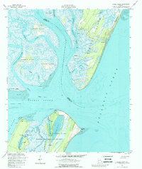
1954 Sapelo Sound
McIntosh County, GA
1954 Shellman Bluff
McIntosh County, GA
1978 Cox
McIntosh County, GA
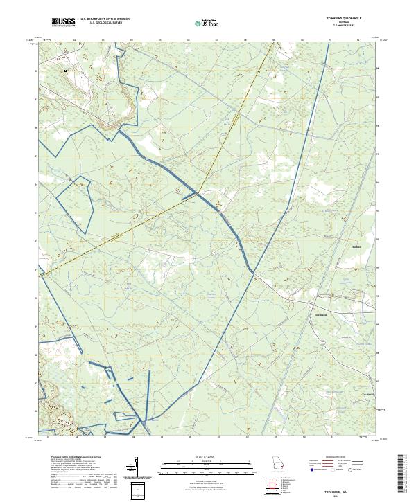
1978 Townsend
McIntosh County, GA
1979 Cabretta Inlet
McIntosh County, GA
1979 Doboy Sound
McIntosh County, GA
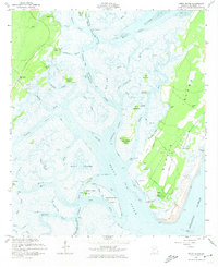
1979 Sapelo Sound
McIntosh County, GA
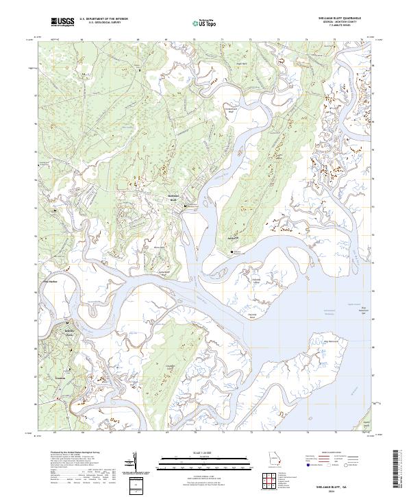
1979 Shellman Bluff
McIntosh County, GA
1980 Ridgeville
McIntosh County, GA
1993 Cabretta Inlet
McIntosh County, GA
1993 Doboy Sound
McIntosh County, GA
1993 Ridgeville
McIntosh County, GA
2024 Cabretta Inlet
McIntosh County, GA
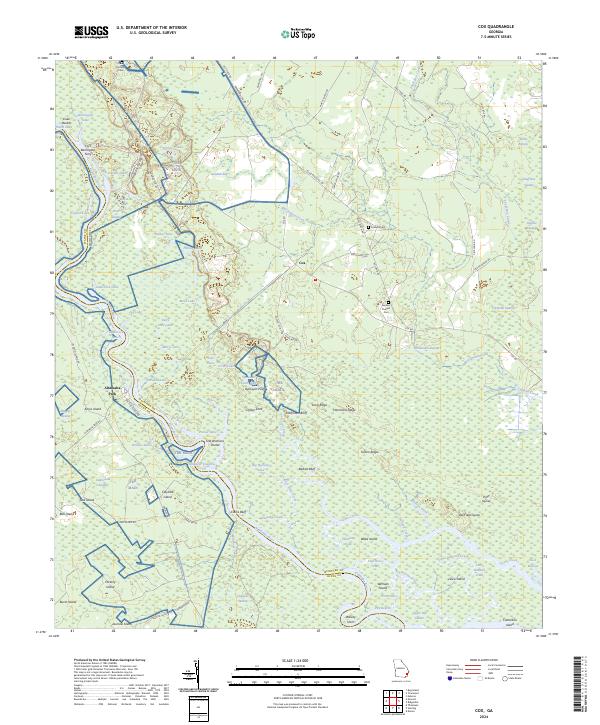
2024 Cox
McIntosh County, GA
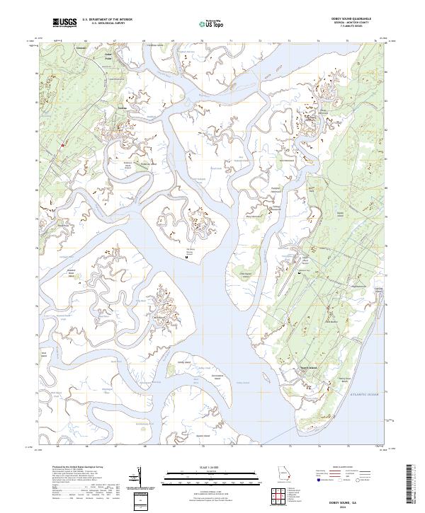
2024 Doboy Sound
McIntosh County, GA
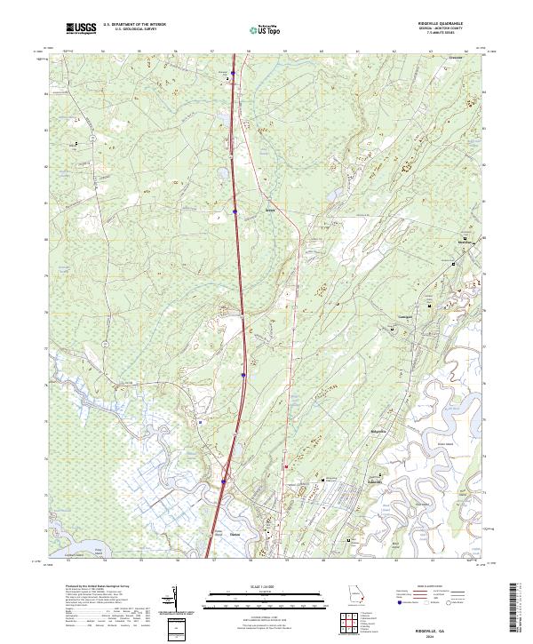
2024 Ridgeville
McIntosh County, GA
2024 Sapelo Sound
McIntosh County, GA
2024 Shellman Bluff
McIntosh County, GA
2024 Townsend
McIntosh County, GA