
1957 Map of Saponac
USGS Topo · Published 1959About this map
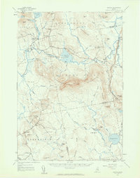
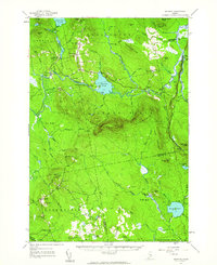
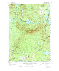
Saponac Pond and the Passadumkeag River dominate this mid-century landscape in the woods of Maine. The map details a period when remote settlements like Burlington and Greenfield served as local hubs for timber and small-scale agriculture. Evidence of early industry and community life appears in labels such as the Thirty-Nine Tannery and rural education outposts like Corner Sch and School No 1.
Find a feature on this map
77 named features on this map. Tap any name to fly to it.
Don’t see what you’re looking for? This feature index may not catch every label — zoom into the map to look around manually.
Map Details
Editions of this 1957 Saponac Map
4 editions found
Other maps of this area

1902 · Orono
USGS Topo · 1:62,500

1917 · Passadumkeag
USGS Topo · 1:62,500

1920 · Winn
USGS Topo · 1:62,500

1929 · Great Pond
USGS Topo · 1:48,000

1929 · Lead Mountain
USGS Topo · 1:48,000

1931 · Springfield
USGS Topo · 1:48,000

1931 · Saponac
USGS Topo · 1:48,000

1932 · Nicatous Lake
USGS Topo · 1:48,000

1932 · Lead Mountain
USGS Topo · 1:62,500

1932 · Great Pond
USGS Topo · 1:62,500