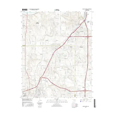
2016 Map of Sapulpa North
USGS Topo · Published 2016About this map
Tulsa and its western suburbs of Sapulpa, Sand Springs, and Jenks meet in this modern topography defined by the winding course of Polecat Creek. The map documents a complex transition from industrial and urban centers to the rolling hills and creek basins of the Tulsa and Creek County border. A dense network of highways and surface streets, including the Gilcrease Expy, connects established neighborhoods like Red Fork and Carbondale with smaller communities like Oakhurst and Bowden.
Find a feature on this map
200 named features on this map. Tap any name to fly to it.
Don’t see what you’re looking for? This feature index may not catch every label — zoom into the map to look around manually.
Map Details
Editions of this 2016 Sapulpa North Map
This is the sole edition of this map. No revisions or reprints were ever made.
Other maps of this area

1896 · Okmulgee
USGS Topo · 1:125,000

1900 · Okmulgee
USGS Topo · 1:125,000

1901 · Claremore
USGS Topo · 1:125,000

1901 · Nuyaka
USGS Topo · 1:125,000

1912 · Hominy
USGS Topo · 1:125,000

1914 · Kiefer
USGS Topo · 1:62,500

1914 · Claremore
USGS Topo · 1:125,000

1915 · Hominy
USGS Topo · 1:125,000

1916 · Kiefer
USGS Topo · 1:62,500

1916 · Claremore
USGS Topo · 1:125,000